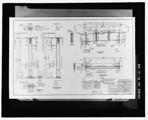
File:DETAILS FOR I-COLUMNS AND I-BEAMS AT BENT 163, APALACHICOLA RIVER BRIDGE, SHEET 5509-17 - Apalachicola River Bridge, State Route 20 spanning the Apalachicola River, Blountstown, Calhoun HAER FL-12-49.tif
Jump to navigation
Jump to search

Size of this JPG preview of this TIF file: 738 × 599 pixels. Other resolutions: 296 × 240 pixels | 591 × 480 pixels | 946 × 768 pixels | 1,261 × 1,024 pixels | 2,522 × 2,048 pixels | 5,581 × 4,532 pixels.
Original file (5,581 × 4,532 pixels, file size: 24.12 MB, MIME type: image/tiff)
Captions
Captions
Add a one-line explanation of what this file represents
Summary
[edit]| DETAILS FOR I-COLUMNS AND I-BEAMS AT BENT 163, APALACHICOLA RIVER BRIDGE, SHEET 5509-17 - Apalachicola River Bridge, State Route 20 spanning the Apalachicola River, Blountstown, Calhoun County, FL | ||||
|---|---|---|---|---|
| Photographer |
Pochurek, James Related names:
|
|||
| Title |
DETAILS FOR I-COLUMNS AND I-BEAMS AT BENT 163, APALACHICOLA RIVER BRIDGE, SHEET 5509-17 - Apalachicola River Bridge, State Route 20 spanning the Apalachicola River, Blountstown, Calhoun County, FL |
|||
| Depicted place | Florida; Calhoun County; Blountstown | |||
| Date | 1995 | |||
| Dimensions | height: 4 in (10.1 cm); width: 5 in (12.7 cm) | |||
| Current location |
Library of Congress Prints and Photographs Division Washington, D.C. 20540 USA http://hdl.loc.gov/loc.pnp/pp.print |
|||
| Accession number |
HAER FL-12-49 |
|||
| Credit line |
|
|||
| Notes |
|
|||
| Source | https://www.loc.gov/pictures/item/fl0342.photos.220934p | |||
| Permission (Reusing this file) |
|
|||

| Object location | | View this and other nearby images on: OpenStreetMap |
|---|
File history
Click on a date/time to view the file as it appeared at that time.
| Date/Time | Thumbnail | Dimensions | User | Comment | |
|---|---|---|---|---|---|
| current | 03:20, 12 July 2014 |  | 5,581 × 4,532 (24.12 MB) | Fæ (talk | contribs) | GWToolset: Creating mediafile for Fæ. HABS 09 July 2014 (801:1000) |
You cannot overwrite this file.
File usage on Commons
The following page uses this file: