File:Cuba Provinces Gray.svg
Jump to navigation
Jump to search

Size of this PNG preview of this SVG file: 800 × 269 pixels. Other resolutions: 320 × 108 pixels | 640 × 215 pixels | 1,024 × 344 pixels | 1,280 × 430 pixels | 2,560 × 860 pixels | 1,018 × 342 pixels.
Original file (SVG file, nominally 1,018 × 342 pixels, file size: 101 KB)
Captions
Captions
Add a one-line explanation of what this file represents
Summary
[edit]
| Description |
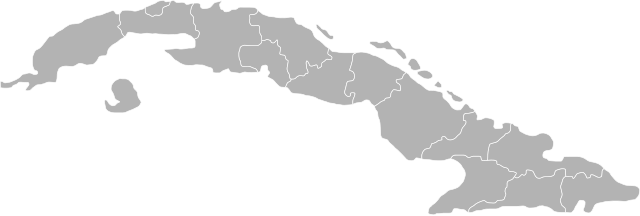
English: Map of Cuba with provinces defined. |
| Date | |
| Source | Own work |
| Author | Joshbaumgartner |
| Other versions | Derivative works of this file: Crocodylus rhombifer distribution.png |
| SVG development |
Licensing
[edit]
| I, the copyright holder of this work, release this work into the public domain. This applies worldwide. In some countries this may not be legally possible; if so: I grant anyone the right to use this work for any purpose, without any conditions, unless such conditions are required by law. |
File history
Click on a date/time to view the file as it appeared at that time.
| Date/Time | Thumbnail | Dimensions | User | Comment | |
|---|---|---|---|---|---|
| current | 18:06, 11 June 2008 | 1,018 × 342 (101 KB) | Joshbaumgartner (talk | contribs) | {{Information |Description={{en|1=Map of Cuba with provinces defined.}} |Source=Own work by uploader |Author=Joshbaumgartner |Date=11 June 2008 |Permission= |other_versions= }} {{ImageUpload|full}} Category:Maps of Cuba |
You cannot overwrite this file.
File usage on Commons
The following 2 pages use this file: