File:Credit PSR. View looks north from aircraft apron at south and east facades of the first hangar built at North Base in 1942. Note Building 4306 attached to hangar in distance; HAER CAL,15-BORON.V,2A-1.tif
Jump to navigation
Jump to search

Size of this JPG preview of this TIF file: 742 × 600 pixels. Other resolutions: 297 × 240 pixels | 594 × 480 pixels | 951 × 768 pixels | 1,267 × 1,024 pixels | 2,534 × 2,048 pixels | 5,560 × 4,493 pixels.
Original file (5,560 × 4,493 pixels, file size: 23.83 MB, MIME type: image/tiff)
Captions
Captions
Add a one-line explanation of what this file represents
Summary
[edit]| Photographer |
Rittermann, Philipp S. Related names:
|
|||
| Title |
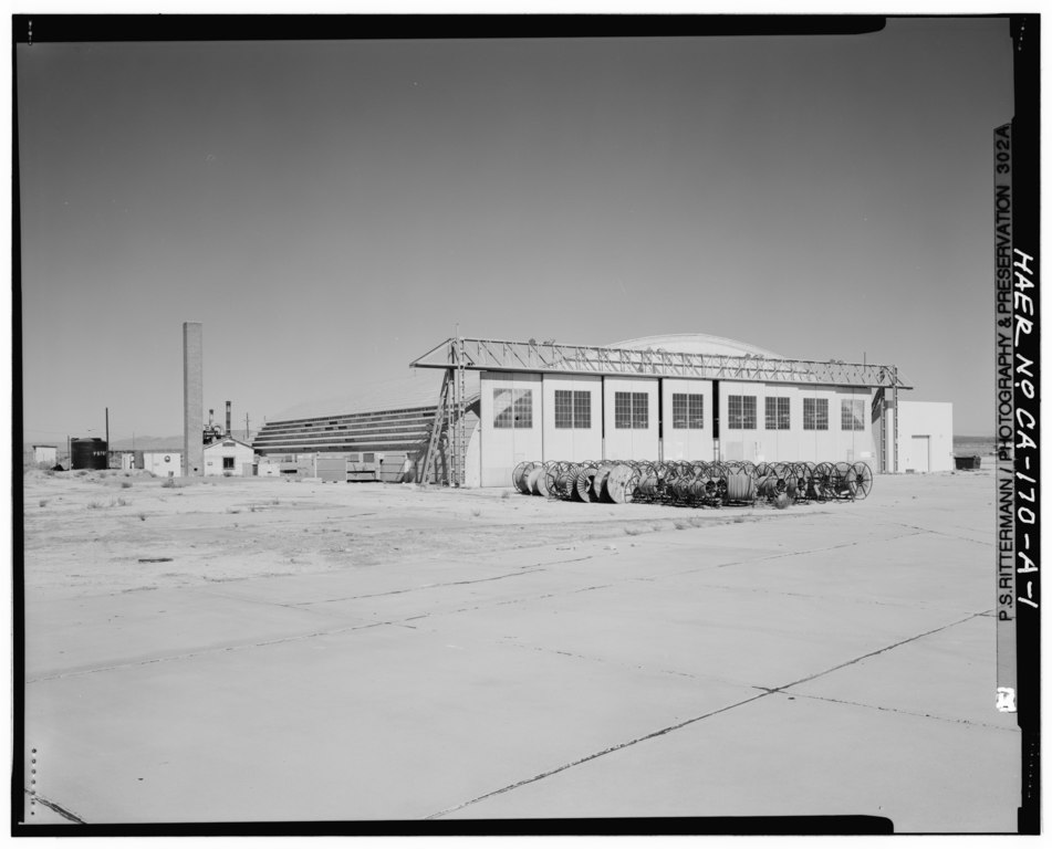
Credit PSR. View looks north from aircraft apron at south and east facades of the first hangar built at North Base in 1942. Note Building 4306 attached to hangar in distance; this structure is the boiler house to heat hangar during winters. Cable reels in foreground are from fiber optic and electrical cable installations ongoing at Edwards Air Force Base. - Edwards Air Force Base, North Base, Unicon Portable Hangar, First and C Streets, Boron, Kern County, CA |
|||
| Depicted place | California; Kern County; Boron | |||
| Date | 1995 | |||
| Dimensions | 4 x 5 in. | |||
| Current location |
Library of Congress Prints and Photographs Division Washington, D.C. 20540 USA http://hdl.loc.gov/loc.pnp/pp.print |
|||
| Accession number |
HAER CAL,15-BORON.V,2A-1 |
|||
| Credit line |
|
|||
| Notes |
|
|||
| Source | https://www.loc.gov/pictures/item/ca2934.photos.382319p | |||
| Permission (Reusing this file) |
|

| Object location | | View this and other nearby images on: OpenStreetMap |
|---|
File history
Click on a date/time to view the file as it appeared at that time.
| Date/Time | Thumbnail | Dimensions | User | Comment | |
|---|---|---|---|---|---|
| current | 00:14, 6 July 2014 |  | 5,560 × 4,493 (23.83 MB) | Fæ (talk | contribs) | GWToolset: Creating mediafile for Fæ. HABS 05 July 2014 (501:600) |
You cannot overwrite this file.
File usage on Commons
The following page uses this file: