File:CoppetHill.jpg
Jump to navigation
Jump to search
No higher resolution available.
CoppetHill.jpg (640 × 481 pixels, file size: 176 KB, MIME type: image/jpeg)
Captions
Captions
Add a one-line explanation of what this file represents
| Description |
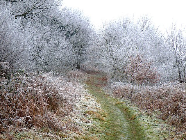
English: Footpath on Coppet Hill on a frosty New Year's Day |
||
| Date | |||
| Source | geograph | ||
| Author | Stuart Wilding | ||
| Permission (Reusing this file) |
This file is licensed under the Creative Commons Attribution-Share Alike 2.0 Generic license. Attribution: Stuart Wilding
|
||
| Attribution (required by the license) | Stuart Wilding / Footpath on Coppet Hill / | ||

| Camera location | | View this and other nearby images on: OpenStreetMap |
|---|
_heading:202.00&language=en)
| Object location | | View this and other nearby images on: OpenStreetMap |
|---|
_heading:202.00&language=en)
File history
Click on a date/time to view the file as it appeared at that time.
| Date/Time | Thumbnail | Dimensions | User | Comment | |
|---|---|---|---|---|---|
| current | 17:50, 21 March 2009 | | 640 × 481 (176 KB) | Cavrdg (talk | contribs) | {{Information |Description={{en|1=Footpath on Coppet Hill on a frosty New Year's Day}} |Source=geograph |Author=Stuart Wilding |Date=2009-01-01 |Permission={{geograph|1100970|Stuart Wilding}} |other_versions= }} <!--{{ImageUpload|full}}--> |
You cannot overwrite this file.
File usage on Commons
The following page uses this file:
File usage on other wikis
The following other wikis use this file:
- Usage on en.wikipedia.org
- Usage on en.wikivoyage.org
- Usage on www.wikidata.org