File:Columbia Gorge east of Hood River (4332506595).jpg
Jump to navigation
Jump to search
Size of this preview: 800 × 188 pixels. Other resolutions: 320 × 75 pixels | 640 × 150 pixels | 1,024 × 240 pixels | 3,272 × 768 pixels.
Original file (3,272 × 768 pixels, file size: 873 KB, MIME type: image/jpeg)
Captions
Captions
Add a one-line explanation of what this file represents
Summary
[edit].jpg&action=edit§ion=1)
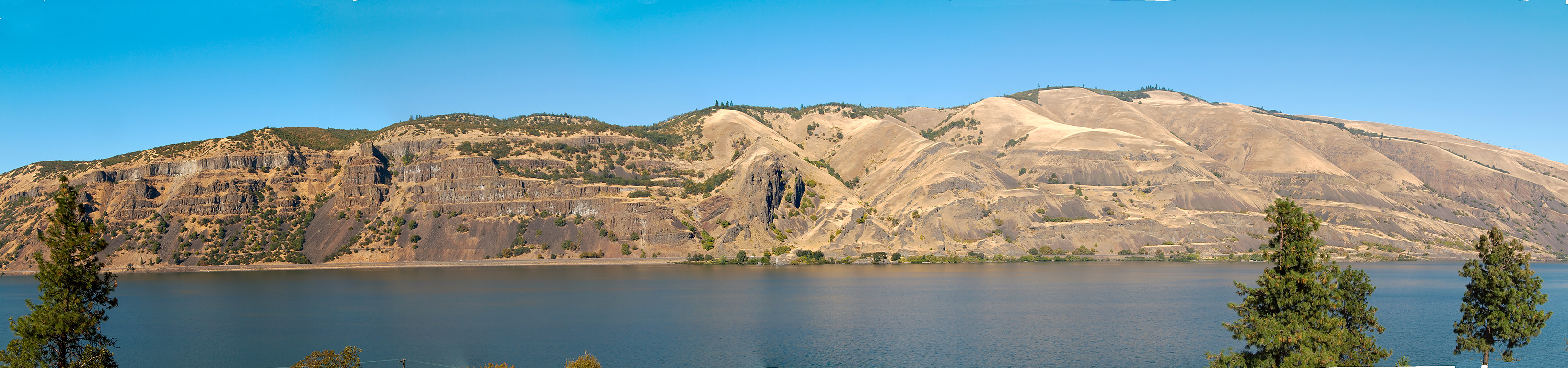
| Description | Washington side of Columbia Gorge as seen from the lookout on Rt. 30 between Roweena and Mosier. |
| Date | |
| Source |
Columbia Gorge east of Hood River
|
| Author | Šarūnas Burdulis from USA |
| Camera location | | View this and other nearby images on: OpenStreetMap |
|---|
.jpg¶ms=045.682760_N_-121.299598_E_globe:Earth_type:camera_source:Flickr_&language=en)
Licensing
[edit].jpg&action=edit§ion=2)
This file is licensed under the Creative Commons Attribution-Share Alike 2.0 Generic license.
- You are free:
- to share – to copy, distribute and transmit the work
- to remix – to adapt the work
- Under the following conditions:
- attribution – You must give appropriate credit, provide a link to the license, and indicate if changes were made. You may do so in any reasonable manner, but not in any way that suggests the licensor endorses you or your use.
- share alike – If you remix, transform, or build upon the material, you must distribute your contributions under the same or compatible license as the original.
| This image, originally posted to Flickr, was reviewed on 20 January 2014 by the administrator or reviewer File Upload Bot (Magnus Manske), who confirmed that it was available on Flickr under the stated license on that date. |
File history
Click on a date/time to view the file as it appeared at that time.
| Date/Time | Thumbnail | Dimensions | User | Comment | |
|---|---|---|---|---|---|
| current | 18:21, 20 January 2014 | 3,272 × 768 (873 KB) | File Upload Bot (Magnus Manske) (talk | contribs) | Transferred from Flickr by User:GiW |
You cannot overwrite this file.
File usage on Commons
The following page uses this file:
.jpg&oldid=865280672)