File:China-Manchukuo-map-es.svg
Jump to navigation
Jump to search

Size of this PNG preview of this SVG file: 800 × 571 pixels. Other resolutions: 320 × 228 pixels | 640 × 456 pixels | 1,024 × 730 pixels | 1,280 × 913 pixels | 2,560 × 1,826 pixels | 1,262 × 900 pixels.
Original file (SVG file, nominally 1,262 × 900 pixels, file size: 600 KB)
Captions
Captions
Add a one-line explanation of what this file represents
Summary
[edit]| Description |
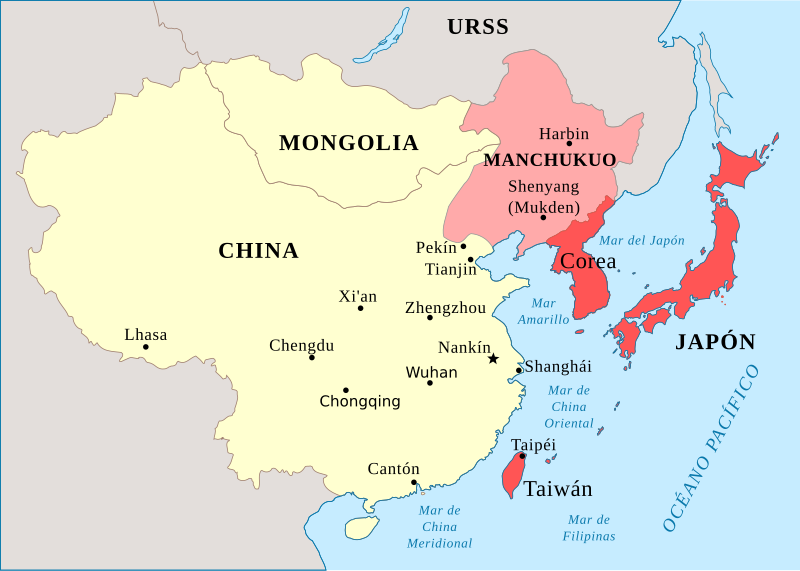
Español: Mapa editado para reflejar la situación de Asia en 1930 (Rojo es Japón y otras partes bajo control japonés) |
| Date | |
| Source | China-Manchukuo-map.svg |
| Author |
|
| Other versions |
[] Ver1:
Ver2:
|
| SVG development |


.svg)


Licensing
[edit]
I, the copyright holder of this work, hereby publish it under the following license:
This file is licensed under the Creative Commons Attribution-Share Alike 4.0 International license.
- You are free:
- to share – to copy, distribute and transmit the work
- to remix – to adapt the work
- Under the following conditions:
- attribution – You must give appropriate credit, provide a link to the license, and indicate if changes were made. You may do so in any reasonable manner, but not in any way that suggests the licensor endorses you or your use.
- share alike – If you remix, transform, or build upon the material, you must distribute your contributions under the same or compatible license as the original.
File history
Click on a date/time to view the file as it appeared at that time.
| Date/Time | Thumbnail | Dimensions | User | Comment | |
|---|---|---|---|---|---|
| current | 07:44, 12 March 2020 | | 1,262 × 900 (600 KB) | Rowanwindwhistler (talk | contribs) | Larger, fake text added, minor errors corrected (Chinese capital was Nankín, not Pekín, Rusia-> URSS), colours modified |
| 00:58, 12 March 2020 |  | 424 × 302 (306 KB) | Jonteemil (talk | contribs) | Fake SVG Reverted to version as of 07:18, 11 May 2016 (UTC) | |
| 12:19, 14 January 2019 |  | 1,024 × 729 (193 KB) | Anchuhu (talk | contribs) | Ajustar resolución | |
| 07:18, 11 May 2016 |  | 424 × 302 (306 KB) | Rowanwindwhistler (talk | contribs) | User created page with UploadWizard |
You cannot overwrite this file.
File usage on Commons
The following 11 pages use this file:
- User:Magog the Ogre/Multilingual legend/2020 March 11-20
- File:China-Manchukuo-map-2.svg
- File:China-Manchukuo-map-es.svg
- File:China-Manchukuo-map-fr.png
- File:China-Manchukuo-map.svg
- File:China-Manchukuo-map (tr).svg
- File:China-Manchukuo-map mk.svg
- File:China-Manchukuo-map ru.svg
- File:China-Manchukuo-map vi.svg
- File:China-Manchukuo-map zh.svg
- Template:Other versions/China-Manchukuo-map