File:Carte de la commune de Bégard 1814.jpg
Jump to navigation
Jump to search

Size of this preview: 782 × 599 pixels. Other resolutions: 313 × 240 pixels | 626 × 480 pixels | 1,002 × 768 pixels | 1,280 × 981 pixels | 2,669 × 2,046 pixels.
Original file (2,669 × 2,046 pixels, file size: 511 KB, MIME type: image/jpeg)
Captions
Captions
Add a one-line explanation of what this file represents
Summary
[edit]| Description |
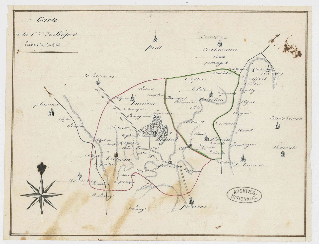
Français : Carte de la commune de Bégard, extrait de Cassini, avec délimitation de la commune de Bégard et de l'ancienne paroisse de Trézélan, indication des anciennes paroisses et des lieux-dits. Archives nationales (France), cote F/2(II)/COTES_DU_NORD/2 |
||||||||||||||||||||
| Date | |||||||||||||||||||||
| Source |
|
||||||||||||||||||||
| Author | Archives nationales | ||||||||||||||||||||

Licensing
[edit]
| This file is made available under the Creative Commons CC0 1.0 Universal Public Domain Dedication. | |
| The person who associated a work with this deed has dedicated the work to the public domain by waiving all of their rights to the work worldwide under copyright law, including all related and neighboring rights, to the extent allowed by law. You can copy, modify, distribute and perform the work, even for commercial purposes, all without asking permission.
|
File history
Click on a date/time to view the file as it appeared at that time.
| Date/Time | Thumbnail | Dimensions | User | Comment | |
|---|---|---|---|---|---|
| current | 12:37, 17 January 2023 | | 2,669 × 2,046 (511 KB) | Archives nationales DJI (talk | contribs) | Uploaded a work by Archives nationales from {{Institution:Archives nationales (France)}} with UploadWizard |
You cannot overwrite this file.
File usage on Commons
There are no pages that use this file.
File usage on other wikis
The following other wikis use this file:
- Usage on fr.wikipedia.org