File:Carte de la France divisée en provinces et en généralités (Jean-Baptiste Bourguignon d'Anville, 1774) 1.jpg
Jump to navigation
Jump to search

Size of this preview: 658 × 599 pixels. Other resolutions: 264 × 240 pixels | 527 × 480 pixels | 843 × 768 pixels | 1,125 × 1,024 pixels | 2,249 × 2,048 pixels | 3,313 × 3,017 pixels.
Original file (3,313 × 3,017 pixels, file size: 3.22 MB, MIME type: image/jpeg)
Captions
Captions
Add a one-line explanation of what this file represents
Summary
[edit]| Description |
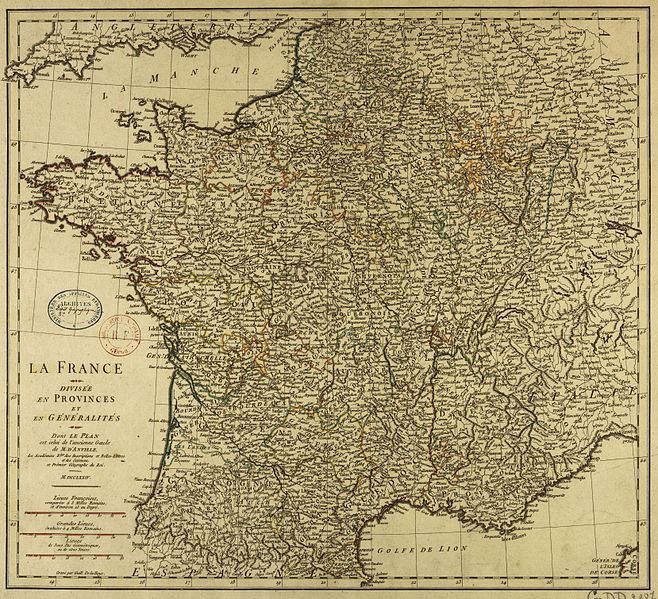
English: Map of provinces and généralités of Ancien Régime France
Français : Carte des provinces et généralité de France de l'Ancien Régime |
||||||||||||||||||||||||||||||||||||
| Date | |||||||||||||||||||||||||||||||||||||
| Source |
|
||||||||||||||||||||||||||||||||||||
| Author |
|
||||||||||||||||||||||||||||||||||||
| Other versions |
|
||||||||||||||||||||||||||||||||||||

_2.jpg)

_1.jpg&action=edit§ion=1)
Licensing
[edit]_1.jpg&action=edit§ion=2)
|
This work is in the public domain in its country of origin and other countries and areas where the copyright term is the author's life plus 100 years or fewer. | |
| This file has been identified as being free of known restrictions under copyright law, including all related and neighboring rights. | |
File history
Click on a date/time to view the file as it appeared at that time.
| Date/Time | Thumbnail | Dimensions | User | Comment | |
|---|---|---|---|---|---|
| current | 07:03, 17 May 2013 | | 3,313 × 3,017 (3.22 MB) | Ancalagon (talk | contribs) | {{Information |Description={{en|Map of provinces and généralités of Ancien Régime France}} {{fr|Carte des provinces et généralité de France de l'Ancien Régime}} |Source=[[ARK-BNF|btv1b7710636j}} |Date={{date|1774}} |Author={{Creator:Jean-Bapti... |
You cannot overwrite this file.
File usage on Commons
The following 2 pages use this file:
File usage on other wikis
The following other wikis use this file:
- Usage on fr.wikipedia.org
_1.jpg&oldid=849210106)