File:Carta de las costas de la Escambia, Alabama y bocas del Rio Misisipi, la Luisiana, Tejas, con la provincia del Nuevo Santander, en el Golfo de Mejico. LOC 77693270.jpg
Jump to navigation
Jump to search

Size of this preview: 800 × 534 pixels. Other resolutions: 320 × 214 pixels | 640 × 427 pixels | 1,024 × 684 pixels | 1,280 × 855 pixels | 2,560 × 1,709 pixels | 11,943 × 7,975 pixels.
Original file (11,943 × 7,975 pixels, file size: 7.09 MB, MIME type: image/jpeg)
Captions
Captions
Add a one-line explanation of what this file represents
Summary
[edit]| Warning | The original file is very high-resolution. It might not load properly or could cause your browser to freeze when opened at full size. |
|---|
| Description |
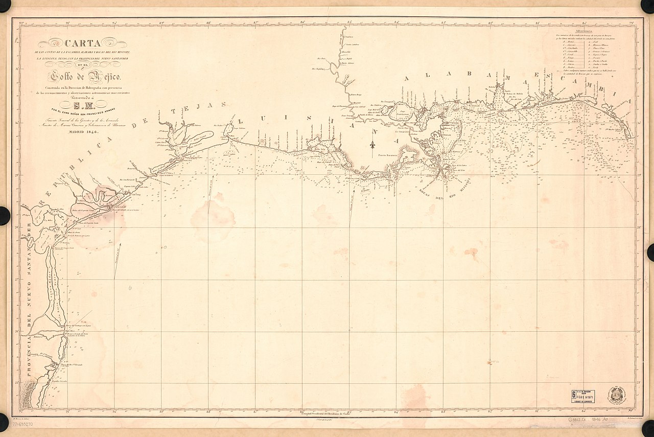
English: Scale not given. LC copy annotated in pencil. Reference meridian: Cádiz. Depths shown by soundings. Includes table of abbreviations. Available also through the Library of Congress Web site as a raster image. AACR2: 650/1; 651/2; 651/3; 650/4; 650/5; 700/2; 710/3 |
||
| Title | Carta de las costas de la Escambia, Alabama y bocas del Rio Misisipi, la Luisiana, Tejas, con la provincia del Nuevo Santander, en el Golfo de Mejico. | ||
| Shelf ID | G3862.C6 1846 .A7 | ||
| Date | |||
| Source | https://www.loc.gov/item/77693270/ | ||
| Author | Armero, Francisco; Carrafa, J.; Moreno, Miguel; Spain. Dirección De Hidrografía. | ||
| Permission (Reusing this file) |
|
||
| Other versions |
|
||
| Location | United States · Mexico, Gulf Of. · Gulf Of Mexico · Gulf Coast · Gulf States. · Gulf States | ||
| Part of | American Memory · General Maps · Catalog · Geography And Map Division | ||
| Subject | Mexico, Gulf Of · Gulf Coast (U.S.) · Coasts · Nautical Charts · United States · Maps · Gulf States |


Licensing
[edit]
|
This is a faithful photographic reproduction of a two-dimensional, public domain work of art. The work of art itself is in the public domain for the following reason:
The official position taken by the Wikimedia Foundation is that "faithful reproductions of two-dimensional public domain works of art are public domain".
This photographic reproduction is therefore also considered to be in the public domain in the United States. In other jurisdictions, re-use of this content may be restricted; see Reuse of PD-Art photographs for details. | ||||
File history
Click on a date/time to view the file as it appeared at that time.
| Date/Time | Thumbnail | Dimensions | User | Comment | |
|---|---|---|---|---|---|
| current | 15:11, 21 May 2018 | | 11,943 × 7,975 (7.09 MB) | Fæ (talk | contribs) | LOC Maps https://www.loc.gov/item/77693270/ #870 |
You cannot overwrite this file.
File usage on Commons
The following page uses this file: