File:Canada territories map.svg
Jump to navigation
Jump to search

Size of this PNG preview of this SVG file: 403 × 306 pixels. Other resolutions: 316 × 240 pixels | 632 × 480 pixels | 1,012 × 768 pixels | 1,280 × 972 pixels | 2,560 × 1,944 pixels.
Original file (SVG file, nominally 403 × 306 pixels, file size: 32 KB)
Captions
Captions
Add a one-line explanation of what this file represents
Summary
[edit]
| Description |
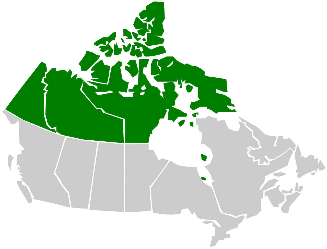
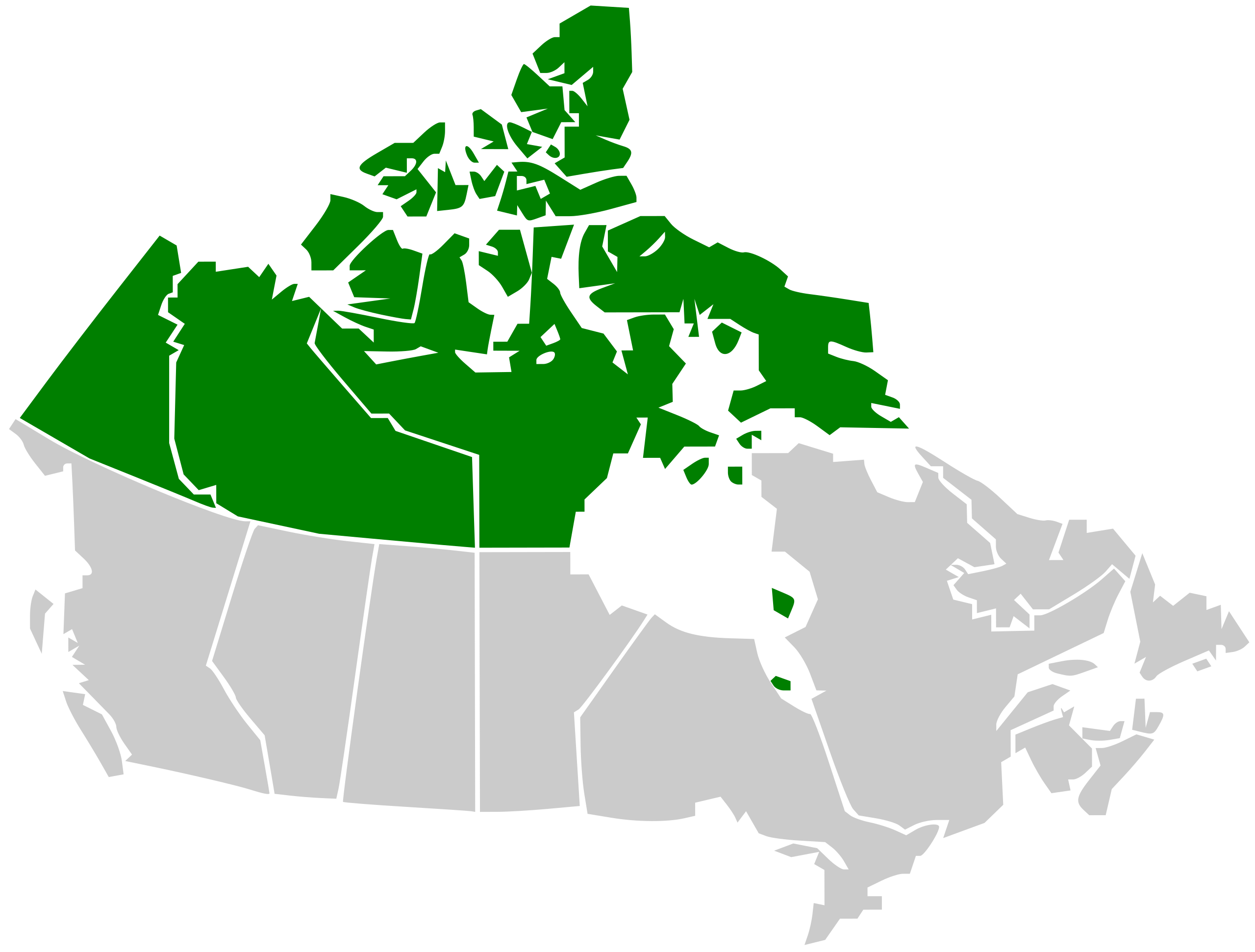
English: Map of the territories with respect to Canada. See Image:Canada provinces blank vide.png for additional information.
Français : Carte des territoires par rapport au Canada. Voir Image:Canada provinces blank vide.png pour de renseignements supplémentaires. |
| Date | |
| Source | Own work |
| Author | Kamangir1214 |
Licensing
[edit]
I, the copyright holder of this work, hereby publish it under the following license:
This file is licensed under the Creative Commons Attribution 3.0 Unported license.
- You are free:
- to share – to copy, distribute and transmit the work
- to remix – to adapt the work
- Under the following conditions:
- attribution – You must give appropriate credit, provide a link to the license, and indicate if changes were made. You may do so in any reasonable manner, but not in any way that suggests the licensor endorses you or your use.
File history
Click on a date/time to view the file as it appeared at that time.
| Date/Time | Thumbnail | Dimensions | User | Comment | |
|---|---|---|---|---|---|
| current | 05:04, 22 August 2016 | | 403 × 306 (32 KB) | Kingofthedead (talk | contribs) | transparent |
| 19:28, 2 January 2009 |  | 403 × 306 (64 KB) | Kamangir1214 (talk | contribs) | {{Information |Description= |Source= |Date= |Author= |Permission= |other_versions= }} [[]]Category:Maps of the Yukon Category:Maps of Northwest Territories Category:Maps of Nunavut]] | |
| 20:33, 1 January 2009 |  | 407 × 292 (244 KB) | Kamangir1214 (talk | contribs) | {{Information |Description= |Source= |Date= |Author= |Permission= |other_versions= }} | |
| 20:28, 1 January 2009 |  | 640 × 480 (243 KB) | Kamangir1214 (talk | contribs) | {{Information |Description={{en|1=== Summary == {{en| Map of the territories with respect to Canada. See Image:Canada provinces blank vide.png for additional information.}} }} {{fr|1={{fr| Carte des territoires par rapport au Canada. Voir [[:Image:Ca |
You cannot overwrite this file.
File usage on Commons
The following page uses this file:
File usage on other wikis
The following other wikis use this file:
- Usage on en.wikipedia.org
- Section 30 of the Canadian Charter of Rights and Freedoms
- User:Qyd/About
- History of the petroleum industry in Canada (frontier exploration and development)
- Wikipedia:WikiProject Canadian Territories/Relations
- Wikipedia:WikiProject Canadian Territories/Templates
- Wikipedia:WikiProject Canadian Territories/To do
- Wikipedia:WikiProject Canadian Territories/Members
- Wikipedia:WikiProject Canadian Territories
- Wikipedia:WikiProject Canadian Territories/Navigation
- Wikipedia talk:WikiProject Canadian Territories
- Wikipedia:WikiProject Canadian Territories/Assessment
- Category:WikiProject Canadian Territories participants
- User:Qyd/User WikiProject Canadian Territories
- Portal:Canada/WikiProjects/Selected WikiProject/6
- Wikipedia:Graphics Lab/Image workshop/Archive/Jan 2009
- Template:User WP Canadian Territories
- Template:User WP Canadian Territories/doc
- Wikipedia:WikiProject Canada/List of Canadian WikiProjects, portals and main articles
- User:Volcanoguy/Userboxes
- User:Buaidh/Templates5
- Talk:Arctic policy of Canada
- Wikipedia:Userboxes/WikiProjects/Regional/03
- User:CoffeeRansacked
- User:CoffeeRansacked2
- User:Awmcphee
- Wikipedia:Userboxes/WikiProjects/Canada
- Wikipedia:Userboxes/WikiProjects/alphabetical/06
- Category:Wikipedians interested in the Canadian Territories
- Wikipedia:WikiProject Canada/userbox templates
- Template:User WP Canadian Territories/doc1
- User:Eric710
- User:Magnatyrannus