File:Campbell water tower, aerial view.jpg
Jump to navigation
Jump to search
Size of this preview: 450 × 600 pixels. Other resolutions: 180 × 240 pixels | 360 × 480 pixels | 576 × 768 pixels | 768 × 1,024 pixels | 1,536 × 2,048 pixels | 3,000 × 4,000 pixels.
Original file (3,000 × 4,000 pixels, file size: 4.65 MB, MIME type: image/jpeg)
Captions
Captions
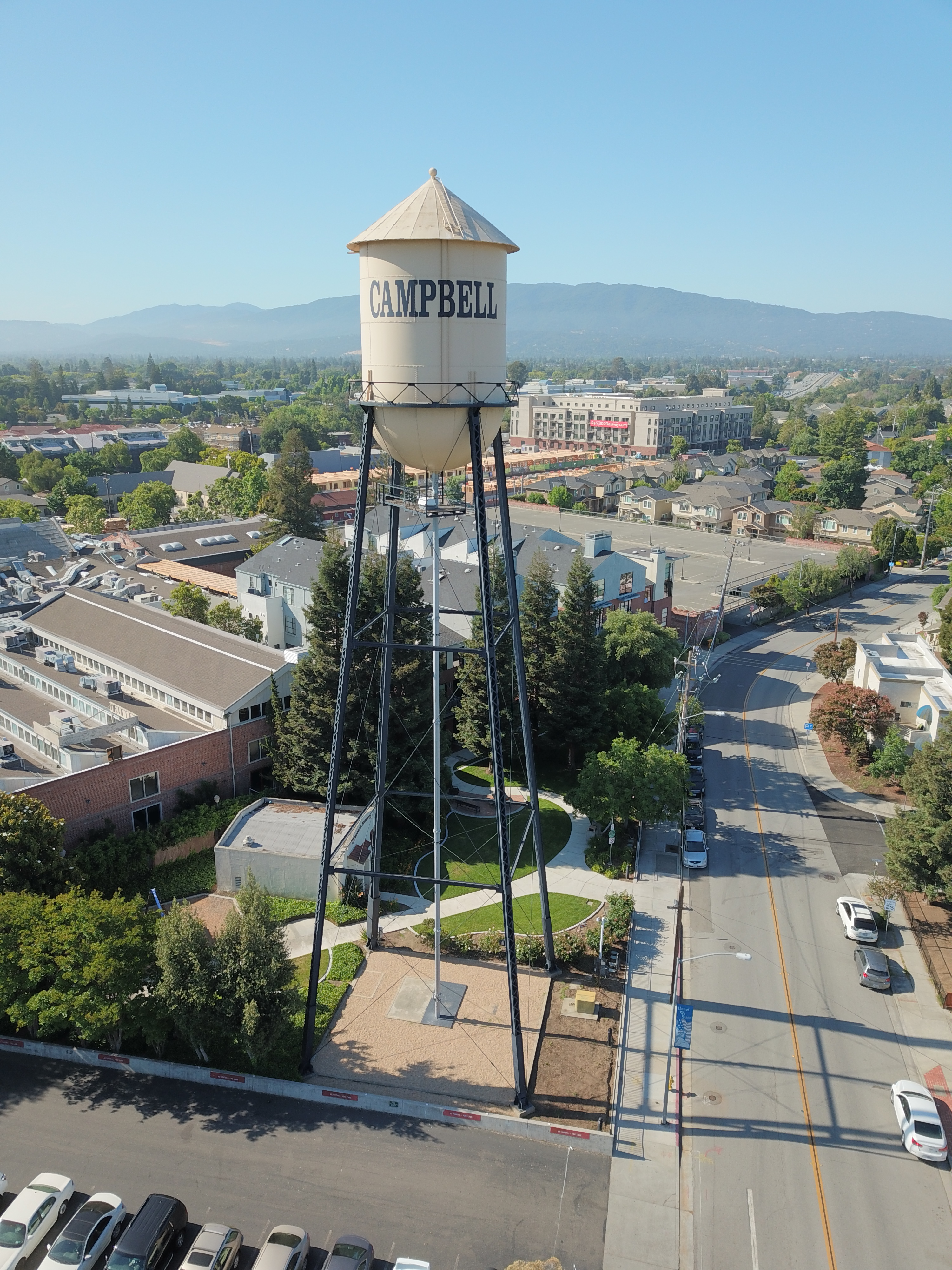
Aerial view of the Campbell Water Tower
Summary
[edit]
| Description |
English: The water tower in downtown Campbell, California, as seen from a drone 36 meters above the ground. |
| Date | 29 May 2018 (according to Exif data) |
| Source | Own work |
| Author | Grendelkhan |
| Taken with | This photo was taken with DJI FC220 |
| Camera location | | View this and other nearby images on: OpenStreetMap |
|---|
Licensing
[edit]
I, the copyright holder of this work, hereby publish it under the following license:
This file is licensed under the Creative Commons Attribution-Share Alike 4.0 International license.
- You are free:
- to share – to copy, distribute and transmit the work
- to remix – to adapt the work
- Under the following conditions:
- attribution – You must give appropriate credit, provide a link to the license, and indicate if changes were made. You may do so in any reasonable manner, but not in any way that suggests the licensor endorses you or your use.
- share alike – If you remix, transform, or build upon the material, you must distribute your contributions under the same or compatible license as the original.
| This file was uploaded via Mobile Android App (Commons mobile app) 2.7.1. |
This image has been assessed using the Quality image guidelines and is considered a Quality image.
|
File history
Click on a date/time to view the file as it appeared at that time.
| Date/Time | Thumbnail | Dimensions | User | Comment | |
|---|---|---|---|---|---|
| current | 03:27, 30 May 2018 | | 3,000 × 4,000 (4.65 MB) | Grendelkhan (talk | contribs) | Uploaded using Commons Mobile App |
You cannot overwrite this file.
File usage on Commons
The following 8 pages use this file:
- User:Didym/Mobile upload/2018 May 27-31
- User talk:Grendelkhan/Archive 1
- Commons:Featured picture candidates/File:Campbell water tower, aerial view.jpg
- Commons:Featured picture candidates/Log/April 2024
- Commons:Quality images/Subject/Architecture/Towers and Masts/Archive 2016 to 2018
- Commons:Quality images candidates/Archives June 01 2018
- Commons:WikiProject Aviation/recent uploads/2018 May 30
- Category:Campbell, California
File usage on other wikis
The following other wikis use this file:
- Usage on ca.wikipedia.org
- Usage on en.wikipedia.org
- Usage on tt.wikipedia.org
- Usage on www.wikidata.org