File:Bridge plaque, Groton Iron Bridge Company - Mill Street Bridge, Spanning Susquehanna River at Mill Street, Cooperstown, Otsego County, NY HAER NY,39-COOP,12-12.tif
Jump to navigation
Jump to search

Size of this JPG preview of this TIF file: 752 × 600 pixels. Other resolutions: 301 × 240 pixels | 602 × 480 pixels | 963 × 768 pixels | 1,280 × 1,021 pixels | 2,560 × 2,042 pixels | 5,000 × 3,988 pixels.
Original file (5,000 × 3,988 pixels, file size: 19.02 MB, MIME type: image/tiff)
Captions
Captions
Add a one-line explanation of what this file represents
Summary
[edit]| Bridge plaque, Groton Iron Bridge Company - Mill Street Bridge, Spanning Susquehanna River at Mill Street, Cooperstown, Otsego County, NY | ||||
|---|---|---|---|---|
| Photographer |
Farley, G. R. Related names:
|
|||
| Title |
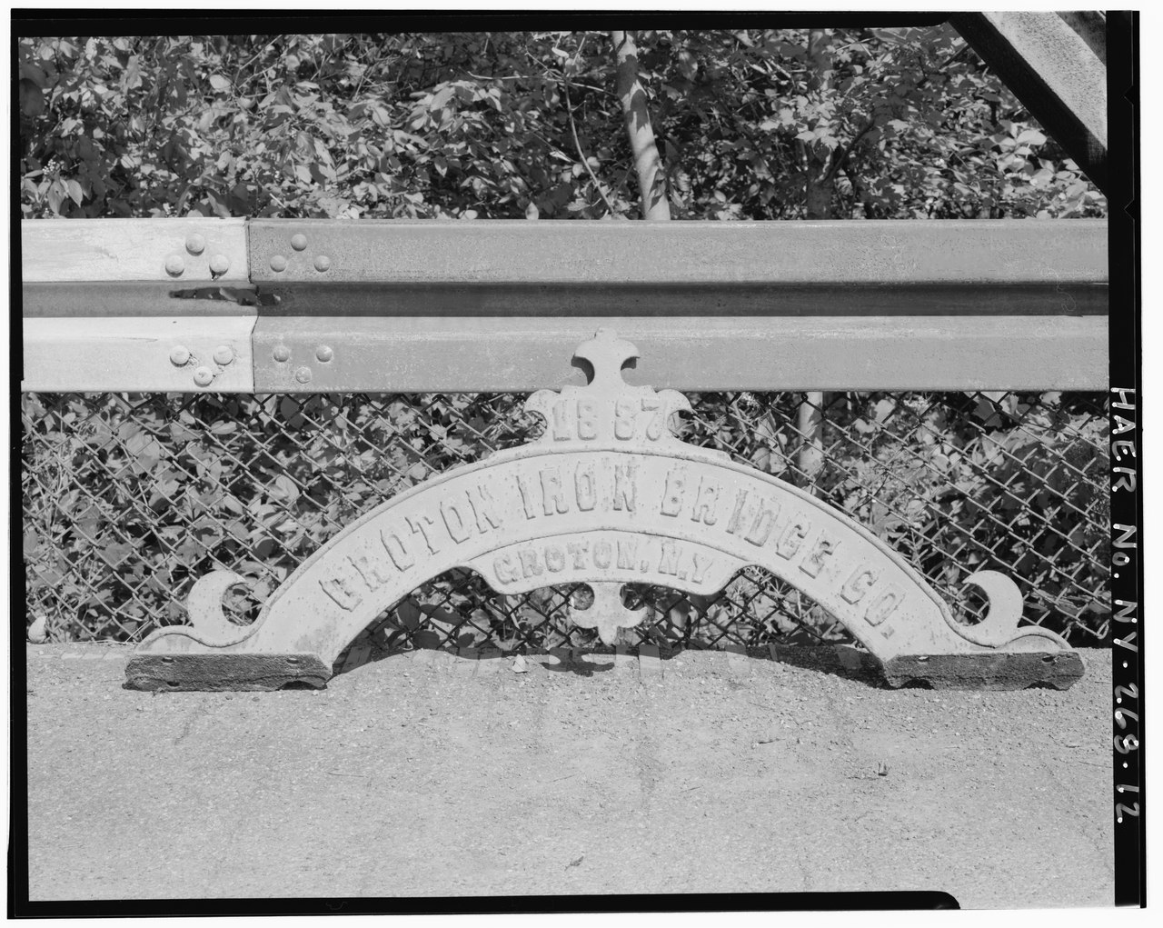
Bridge plaque, Groton Iron Bridge Company - Mill Street Bridge, Spanning Susquehanna River at Mill Street, Cooperstown, Otsego County, NY |
|||
| Depicted place | New York; Otsego County; Cooperstown | |||
| Date | 1992 | |||
| Dimensions | 4 x 5 in. | |||
| Current location |
Library of Congress Prints and Photographs Division Washington, D.C. 20540 USA http://hdl.loc.gov/loc.pnp/pp.print |
|||
| Accession number |
HAER NY,39-COOP,12-12 |
|||
| Credit line |
|
|||
| Notes |
|
|||
| References |
|
|||
| Source | https://www.loc.gov/pictures/item/ny1730.photos.350584p | |||
| Permission (Reusing this file) |
|
|||

| Object location | | View this and other nearby images on: OpenStreetMap |
|---|
File history
Click on a date/time to view the file as it appeared at that time.
| Date/Time | Thumbnail | Dimensions | User | Comment | |
|---|---|---|---|---|---|
| current | 05:55, 1 August 2014 |  | 5,000 × 3,988 (19.02 MB) | Fæ (talk | contribs) | GWToolset: Creating mediafile for Fæ. HABS 31 July 2014 (2301:2600) |
You cannot overwrite this file.
File usage on Commons
The following page uses this file: