File:Borisovo Ponds 2007-03 1174740685.tiff
Jump to navigation
Jump to search

Size of this PNG preview of this TIF file: 800 × 239 pixels. Other resolutions: 320 × 96 pixels | 640 × 191 pixels | 1,024 × 306 pixels | 1,280 × 382 pixels | 2,560 × 764 pixels | 8,494 × 2,536 pixels.
Original file (8,494 × 2,536 pixels, file size: 35.77 MB, MIME type: image/tiff)
Captions
Captions
Add a one-line explanation of what this file represents
Summary
[edit]| Description |
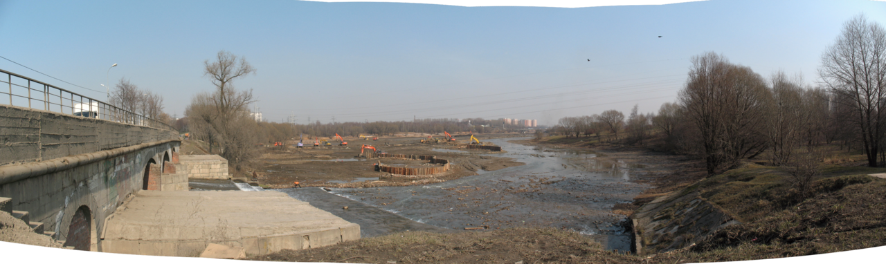
English: reservoir Borisovo Ponds
Русский: водохранилище Борисовские пруды
Español: embalse Estanques Borisov
|
||||||||||||||||||||||||||
| Date | Taken on 24 March 2007, 12:51:25 (according to Exif data) | ||||||||||||||||||||||||||
| Source | Own work | ||||||||||||||||||||||||||
| Author |
|
||||||||||||||||||||||||||
.jpg)

|
NOTE: This image is a panorama consisting of multiple frames that were merged or stitched in software. As a result, this image necessarily underwent some form of digital manipulation. These manipulations may include blending, blurring, cloning, and colour and perspective adjustments. As a result of these adjustments, the image content may be slightly different from reality at the points where multiple images were combined. This manipulation is often required due to lens, perspective, and parallax distortions.
|
| Camera location | | View this and other nearby images on: OpenStreetMap |
|---|
| Object location | | View this and other nearby images on: OpenStreetMap |
|---|
Licensing
[edit]Artem Svetlov, the copyright holder of this work, hereby publishes it under the following license:
This file is licensed under the Creative Commons Attribution-Share Alike 4.0 International license.
Attribution: Artem Svetlov
- You are free:
- to share – to copy, distribute and transmit the work
- to remix – to adapt the work
- Under the following conditions:
- attribution – You must give appropriate credit, provide a link to the license, and indicate if changes were made. You may do so in any reasonable manner, but not in any way that suggests the licensor endorses you or your use.
- share alike – If you remix, transform, or build upon the material, you must distribute your contributions under the same or compatible license as the original.
File history
Click on a date/time to view the file as it appeared at that time.
| Date/Time | Thumbnail | Dimensions | User | Comment | |
|---|---|---|---|---|---|
| current | 07:22, 24 December 2023 | 8,494 × 2,536 (35.77 MB) | Svetlov Artem (talk | contribs) | == {{int:filedesc}} == {{Information |description={{en|1=reservoir Borisovo Ponds}} {{ru|1=водохранилище Борисовские пруды}} {{es|1=embalse Estanques Borisov}} {{on Wikidata|Q4093975}} {{on Wikidata|Q4524108}} |source={{own}} |author={{Creator:Artem Svetlov}} |date={{Taken on|2007-03-24T12:51:25|location=Moscow|source=EXIF}} }} {{Panorama}} {{Location dec|55.62756|37.692477|heading:2}} {{object location|55.627881|37.692493}} == {{int:license-header}} == {{self|cc-by-sa-4.0|author=Artem S... |
You cannot overwrite this file.
File usage on Commons
There are no pages that use this file.
File usage on other wikis
The following other wikis use this file:
- Usage on ru.wikipedia.org