File:Bodleian Libraries, Carta quinta generale di Europa.jpg
Original file (1,000 × 675 pixels, file size: 114 KB, MIME type: image/jpeg)
Captions
Captions
Summary
[edit]
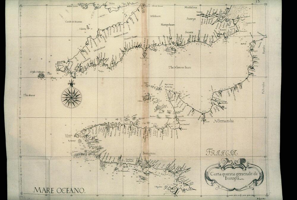
| Carta quinta generale di Europa | ||||||
|---|---|---|---|---|---|---|
| Artist |
Dudley, Robert, Sir, 1574-1649 [cartographer] Lucini [engraver] |
|||||
| Title |
Carta quinta generale di Europa |
|||||
| Description |
Map of the English Channel, with Cornwall and Brittany, from Dell' Arcano del Mare, the first atlas of charts on Mercator's projection. |
|||||
| Date | 1646 | |||||
| Dimensions | 475 x 385 mm; 35mm slide | |||||
| Accession number |
Mason BB 104 |
|||||
| Place of creation | Florence (Italy) | |||||
| Notes | Filmstrip Roll 279.1, frame 34; Source filename: mapsxx003-abg-0001-0 | |||||
| Source/Photographer |
|
|||||
| Permission (Reusing this file) |
|
|||||
File history
Click on a date/time to view the file as it appeared at that time.
| Date/Time | Thumbnail | Dimensions | User | Comment | |
|---|---|---|---|---|---|
| current | 23:28, 26 February 2016 | | 1,000 × 675 (114 KB) | MartinPoulter (talk | contribs) | GWToolset: Creating mediafile for MartinPoulter. Bulk upload of Maps collection from Digital Bodleian |
You cannot overwrite this file.
File usage on Commons
The following page uses this file: