File:Blank map of Canada.svg
Jump to navigation
Jump to search

Size of this PNG preview of this SVG file: 706 × 599 pixels. Other resolutions: 283 × 240 pixels | 566 × 480 pixels | 905 × 768 pixels | 1,206 × 1,024 pixels | 2,413 × 2,048 pixels | 1,085 × 921 pixels.
Original file (SVG file, nominally 1,085 × 921 pixels, file size: 82 KB)
Captions
Captions
Add a one-line explanation of what this file represents
Summary
[edit]
| Description |
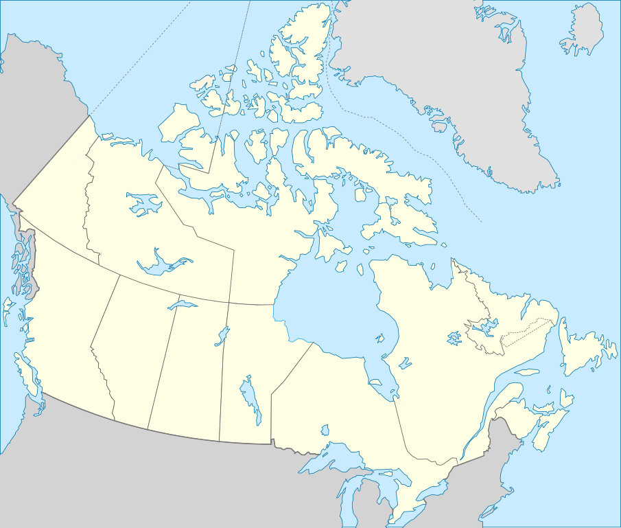
Deutsch: Karte von Kanada. English: Blank map showing territory governed by provinces and territories of Canada. Español: Mapa de Canadá. Français : Carte vierge montrant les provinces et les territoires du Canada. |
| Date | (UTC) |
| Source | |
| Author |
|
| Other versions | Derivative works of this file: Лабрадорско Море.svg |
.svg)
| This is a retouched picture, which means that it has been digitally altered from its original version. Modifications: Français : Ajout de certains lacs et frontières English: Added few borders and lakes . The original can be viewed here: Carte du Québec au sein du Canada.svg:
|
Licensing
[edit]
This file is licensed under the Creative Commons Attribution-Share Alike 3.0 Unported license.
- You are free:
- to share – to copy, distribute and transmit the work
- to remix – to adapt the work
- Under the following conditions:
- attribution – You must give appropriate credit, provide a link to the license, and indicate if changes were made. You may do so in any reasonable manner, but not in any way that suggests the licensor endorses you or your use.
- share alike – If you remix, transform, or build upon the material, you must distribute your contributions under the same or compatible license as the original.
Original upload log
[edit]
This image is a derivative work of the following images:
- File:Canada_(geolocalisation).svg licensed with Cc-by-sa-2.5,2.0,1.0, Cc-by-sa-3.0-migrated, GFDL
- 2007-02-07T01:48:11Z STyx 1084x920 (95884 Bytes) retouche mineure
- 2007-02-07T01:41:09Z STyx 1084x920 (95939 Bytes) {{Created with Inkscape}} {{Information |Description= *{{fr}} Version recadrée et épurée de [[:Image:Carte administrative du Canada.svg]] pour la géolocation du Canada. Le cadrage est x=80px, y=166px, height=920, width=10
- File:Carte_du_Québec_au_sein_du_Canada.svg licensed with Cc-by-sa-3.0,2.5,2.0,1.0, FAL
- 2011-12-08T14:56:55Z Riba 1083x919 (82028 Bytes) Minor corrections of colors.
- 2011-09-27T19:51:30Z Sémhur 1083x919 (77011 Bytes) == {{int:filedesc}} == {{Information |Description={{Multilingual description |en= Blank map showing [[:en:Québec|]] in Canada, in red, with the disputed area between Quebec and Labrador, in pink. |fr= Carte montrant le [[:fr
Uploaded with derivativeFX
File history
Click on a date/time to view the file as it appeared at that time.
| Date/Time | Thumbnail | Dimensions | User | Comment | |
|---|---|---|---|---|---|
| current | 22:10, 14 December 2011 | | 1,085 × 921 (82 KB) | Riba (talk | contribs) | == {{int:filedesc}} == {{Information |Description={{Multilingual description |en= Blank map showing provinces and territories of Canada. |fr= Carte vierge montrant les provinces et les territoires du Canada. |de=Karte von Kanada. |es=Mapa de Canadá.}} |S |
You cannot overwrite this file.
File usage on Commons
The following 8 pages use this file:
- Commons:Wiki Loves Monuments 2014 Canada
- Commons:Wiki Loves Monuments 2017 in Canada
- Commons:Wiki Loves Monuments 2018 in Canada
- Commons:Wiki Loves Monuments 2019 in Canada
- Commons:Wiki Loves Monuments 2020 in Canada
- Commons:Wiki Loves Monuments Canada/Map en
- Commons:Wiki Loves Monuments Canada/Map fr
- File:Лабрадорско Море.svg
File usage on other wikis
The following other wikis use this file:
- Usage on en.wikipedia.org
- Usage on es.wikipedia.org
- Aeropuerto Toronto City Centre
- Aeropuerto Internacional James Armstrong Richardson
- Aeropuerto Internacional de Halifax-Stanfield
- Aeropuerto Internacional de Edmonton
- Aeropuerto Internacional de Ottawa
- Aeropuerto Internacional de Saskatoon-John G. Diefenbaker
- Aeropuerto Internacional de Calgary
- Aeropuerto Internacional de San Juan de Terranova
- Aeropuerto Internacional Jean-Lesage de Quebec
- Aeropuerto Internacional del Gran Moncton
- Aeropuerto Internacional de London
- Aeropuerto de Fort McMurray
- Aeropuerto Internacional de Kelowna
- Aeropuerto Internacional de Regina
- Aeropuerto Internacional de Victoria
- Aeropuerto Internacional de Hamilton-Munro
- Aeropuerto Internacional de Abbotsford
- Aeropuerto Internacional de la Región de Waterloo
- Aeropuerto de Saint John
- Jardín botánico de Toronto
- Jardines Ornamentales de Ottawa
- Usage on fa.wikipedia.org
- Usage on fr.wikipedia.org
- Catégorie:Politique au Canada par province ou territoire
- Catégorie:Entreprise ayant son siège au Canada par province ou territoire
- Catégorie:Enseignement au Canada par province ou territoire
- Catégorie:Sport au Canada par province ou territoire
- Catégorie:Géographie du Canada par province ou territoire
- Catégorie:Aire protégée fédérale au Canada par province ou territoire
- Catégorie:Droit au Canada par province ou territoire
- Catégorie:Transport au Canada par province ou territoire
- Catégorie:Média au Canada par province ou territoire
- Catégorie:Environnement au Canada par province ou territoire
- Catégorie:Naissance au Canada par province ou territoire
- Catégorie:Décès au Canada par province ou territoire
- Catégorie:Histoire du Canada par province ou territoire
- Catégorie:Bâtiment au Canada par province ou territoire
- Catégorie:Équipement sportif au Canada par province ou territoire
- Catégorie:Pont au Canada par province ou territoire
- Catégorie:Aire protégée au Canada par province ou territoire
- Catégorie:Club sportif au Canada par province ou territoire
- Catégorie:Île au Canada par province ou territoire
- Catégorie:Énergie au Canada par province ou territoire
View more global usage of this file.