File:Bay of Funday - Lange - btv1b53089791m (2 of 2).jpg
Jump to navigation
Jump to search
Size of this preview: 745 × 600 pixels. Other resolutions: 298 × 240 pixels | 597 × 480 pixels | 954 × 768 pixels | 1,273 × 1,024 pixels | 1,823 × 1,467 pixels.
Original file (1,823 × 1,467 pixels, file size: 467 KB, MIME type: image/jpeg)
Captions
Captions
Add a one-line explanation of what this file represents
Summary
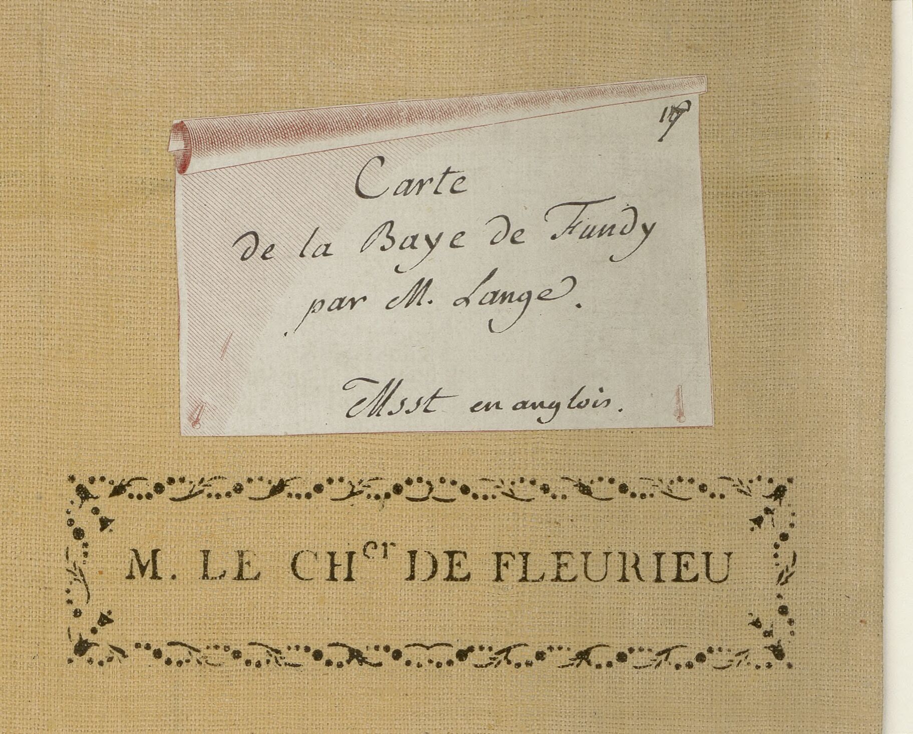
[edit]| Bay of Funday / Lange
( |
|||||||||||||||||||||||||||
|---|---|---|---|---|---|---|---|---|---|---|---|---|---|---|---|---|---|---|---|---|---|---|---|---|---|---|---|
| Author |
Lange, André (17..-17..? ; hydrographe). Cartographe |
||||||||||||||||||||||||||
| Title |
Bay of Funday / Lange |
||||||||||||||||||||||||||
| Description |
Français : Langue : anglais |
||||||||||||||||||||||||||
| Date | 1775 | ||||||||||||||||||||||||||
| Dimensions | height: 148 cm (58.2 in); width: 52 cm (20.4 in) | ||||||||||||||||||||||||||
| Collection |
|
||||||||||||||||||||||||||
| References |
Français : Notice de recueil : http://catalogue.bnf.fr/ark:/12148/cb43657343r
Appartient à : [Division 9 du portefeuille 133 du Service hydrographique de la marine consacrée à la Baie de Fundy] ; 2 Notice du catalogue : http://catalogue.bnf.fr/ark:/12148/cb43657375c |
||||||||||||||||||||||||||
| Source/Photographer |
Français : Bibliothèque nationale de France, département Cartes et plans, GE SH 18 PF 133 DIV 9 P 2
Bibliothèque nationale de France (2/2) |
||||||||||||||||||||||||||
| Permission (Reusing this file) |
|
||||||||||||||||||||||||||

.jpg&action=edit§ion=1)
File history
Click on a date/time to view the file as it appeared at that time.
| Date/Time | Thumbnail | Dimensions | User | Comment | |
|---|---|---|---|---|---|
| current | 16:54, 20 August 2022 | | 1,823 × 1,467 (467 KB) | Gzen92Bot (talk | contribs) | Gallica btv1b53089791m |
You cannot overwrite this file.
File usage on Commons
The following 2 pages use this file:
.jpg)
.jpg)
.jpg&oldid=895354677)