File:Barrel shot in perspective, center lattice span. - Swann Bridge, Spanning Locust Fork of Black Warrior River, Swann Bridge Road, Cleveland, Blount County, AL HAER AL-201-10.tif
Jump to navigation
Jump to search

Size of this JPG preview of this TIF file: 800 × 575 pixels. Other resolutions: 320 × 230 pixels | 640 × 460 pixels | 1,024 × 736 pixels | 1,280 × 920 pixels | 2,560 × 1,841 pixels | 4,596 × 3,305 pixels.
Original file (4,596 × 3,305 pixels, file size: 14.49 MB, MIME type: image/tiff)
Captions
Captions
Add a one-line explanation of what this file represents
Summary
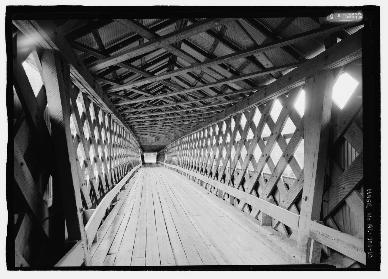
[edit]| Barrel shot in perspective, center lattice span. - Swann Bridge, Spanning Locust Fork of Black Warrior River, Swann Bridge Road, Cleveland, Blount County, AL | ||||
|---|---|---|---|---|
| Photographer |
Lowe, Jet Related names:
|
|||
| Title |
Barrel shot in perspective, center lattice span. - Swann Bridge, Spanning Locust Fork of Black Warrior River, Swann Bridge Road, Cleveland, Blount County, AL |
|||
| Depicted place | Alabama; Blount County; Cleveland | |||
| Date | 2002 | |||
| Medium | 5 x 7 in. | |||
| Current location |
Library of Congress Prints and Photographs Division Washington, D.C. 20540 USA http://hdl.loc.gov/loc.pnp/pp.print |
|||
| Accession number |
HAER AL-201-10 |
|||
| Credit line |
|
|||
| Notes |
|
|||
| References |
|
|||
| Source | https://www.loc.gov/pictures/item/al1309.photos.193425p | |||
| Permission (Reusing this file) |
|
|||

| Object location | | View this and other nearby images on: OpenStreetMap |
|---|
File history
Click on a date/time to view the file as it appeared at that time.
| Date/Time | Thumbnail | Dimensions | User | Comment | |
|---|---|---|---|---|---|
| current | 16:59, 26 June 2014 |  | 4,596 × 3,305 (14.49 MB) | Fæ (talk | contribs) | GWToolset: Creating mediafile for Fæ. HABS batch upload restart 26 June 2014 (151:200) |
You cannot overwrite this file.
File usage on Commons
The following page uses this file: