File:Barkly-regions-map.png
Jump to navigation
Jump to search
Size of this preview: 714 × 599 pixels. Other resolutions: 286 × 240 pixels | 572 × 480 pixels | 915 × 768 pixels | 1,220 × 1,024 pixels | 2,441 × 2,048 pixels | 2,792 × 2,343 pixels.
Original file (2,792 × 2,343 pixels, file size: 636 KB, MIME type: image/png)
Captions
Captions
Add a one-line explanation of what this file represents
Summary
[edit]
| Description |
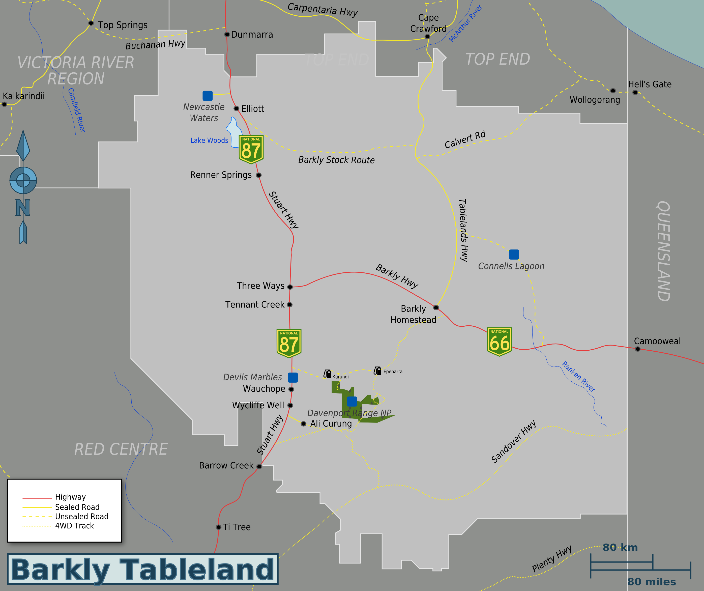
English: Map of Barkly Tableland. |
| Date | |
| Source | Own work based on File:Large NT Map.png of Nigel Malone and New Lga Names1.JPG of Piano01 at en.wikipedia |
| Author | Globe-trotter |
| Other versions | Barkly-regions-map.svg |
Licensing
[edit]
This file is licensed under the Creative Commons Attribution-Share Alike 4.0 International, 3.0 Unported, 2.5 Generic, 2.0 Generic and 1.0 Generic license.
- You are free:
- to share – to copy, distribute and transmit the work
- to remix – to adapt the work
- Under the following conditions:
- attribution – You must give appropriate credit, provide a link to the license, and indicate if changes were made. You may do so in any reasonable manner, but not in any way that suggests the licensor endorses you or your use.
- share alike – If you remix, transform, or build upon the material, you must distribute your contributions under the same or compatible license as the original.
Original upload log
[edit]
| This file was imported from Wikivoyage WTS. |
The original description page was here. All following user names refer to wts.wikivoyage-old.
- 2010-01-06 04:25 (WT-shared) Globe-trotter[dead link] 2274×1729 (539824 bytes) {{Imagecredit|credit=Globe-trotter, credit for Nigel Malone as this map is based off his NT map [http://wikitravel.org/shared/Image:Large_NT (Import from wikitravel.org/shared)
- 2010-01-06 04:31 (WT-shared) Globe-trotter[dead link] 2274×1729 (533460 bytes) small edits (Import from wikitravel.org/shared)
- 2010-01-15 18:29 (WT-shared) Globe-trotter[dead link] 2274×1729 (534842 bytes) small changes (Import from wikitravel.org/shared)
- 2012-11-04 15:20 Globe-trotter[dead link] 2792×2343 (651762 bytes) fixed borders, other changes
File history
Click on a date/time to view the file as it appeared at that time.
| Date/Time | Thumbnail | Dimensions | User | Comment | |
|---|---|---|---|---|---|
| current | 05:36, 21 November 2012 | | 2,792 × 2,343 (636 KB) | OgreBot (talk | contribs) | (BOT): Reverting to most recent version before archival |
| 05:36, 21 November 2012 |  | 2,274 × 1,729 (522 KB) | OgreBot (talk | contribs) | (BOT): Uploading old version of file from wts.wikivoyage; originally uploaded on 2010-01-15 18:29:09 by (WT-shared) Globe-trotter | |
| 05:36, 21 November 2012 |  | 2,274 × 1,729 (521 KB) | OgreBot (talk | contribs) | (BOT): Uploading old version of file from wts.wikivoyage; originally uploaded on 2010-01-06 04:31:52 by (WT-shared) Globe-trotter | |
| 12:42, 20 November 2012 |  | 2,792 × 2,343 (636 KB) | Globe-trotter (talk | contribs) | Reverted to version as of 22:40, 17 November 2012 | |
| 02:09, 20 November 2012 |  | 2,274 × 1,729 (527 KB) | OgreBot (talk | contribs) | (BOT): Uploading old version of file from wts.wikivoyage; originally uploaded on 2010-01-06 04:25:44 by (WT-shared) Globe-trotter | |
| 22:40, 17 November 2012 |  | 2,792 × 2,343 (636 KB) | MGA73bot2 (talk | contribs) | {{BotMoveToCommons|wts.oldwikivoyage|year={{subst:CURRENTYEAR}}|month={{subst:CURRENTMONTHNAME}}|day={{subst:CURRENTDAY}}}} == {{int:filedesc}} == {{Information |description=Map of Barkly Tableland. * Map of: Northern Territory¤ |date=January 6, 2009 ... |
You cannot overwrite this file.
File usage on Commons
There are no pages that use this file.
File usage on other wikis
The following other wikis use this file:
- Usage on en.wikivoyage.org