File:BG topoHE.png
Jump to navigation
Jump to search
No higher resolution available.
BG_topoHE.png (520 × 427 pixels, file size: 269 KB, MIME type: image/png)
Captions
Captions
Add a one-line explanation of what this file represents
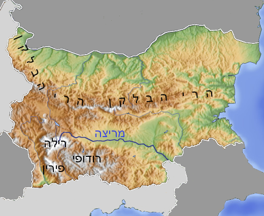
| Description | מפה טופו של בולגריה |
| Date | |
| Source | Own work after File:BG topo600x600 16.png |
| Author | Ori~ |
The map has been created with the Generic Mapping Tools: https://www.generic-mapping-tools.org/ using one or more of these public-domain datasets for the relief:
|

|
Permission is granted to copy, distribute and/or modify this document under the terms of the GNU Free Documentation License, Version 1.2 or any later version published by the Free Software Foundation; with no Invariant Sections, no Front-Cover Texts, and no Back-Cover Texts. A copy of the license is included in the section entitled GNU Free Documentation License. |
| This file is licensed under the Creative Commons Attribution-Share Alike 3.0 Unported license. | ||
| ||
| This licensing tag was added to this file as part of the GFDL licensing update. |
File history
Click on a date/time to view the file as it appeared at that time.
| Date/Time | Thumbnail | Dimensions | User | Comment | |
|---|---|---|---|---|---|
| current | 14:12, 24 August 2011 | | 520 × 427 (269 KB) | Ori~ (talk | contribs) | {{Information |Description=מפה טופו של בולגריה |Source={{own}} after File:BG topo600x600 16.png |Date=2011-08-24 |Author= Ori~ |Permission= |other_versions= }} {{Bild-GFDL-GMT|migration=relicense}} [[Category:Topogra |
You cannot overwrite this file.
File usage on Commons
There are no pages that use this file.
File usage on other wikis
The following other wikis use this file:
- Usage on he.wikipedia.org