File:Aufnahmeblatt 4955-4 Mürzzuschlag Langenwang-Mürzzuschlag.jpg

Original file (3,704 × 3,104 pixels, file size: 8.2 MB, MIME type: image/jpeg)
Captions
Captions
Summary
[edit]
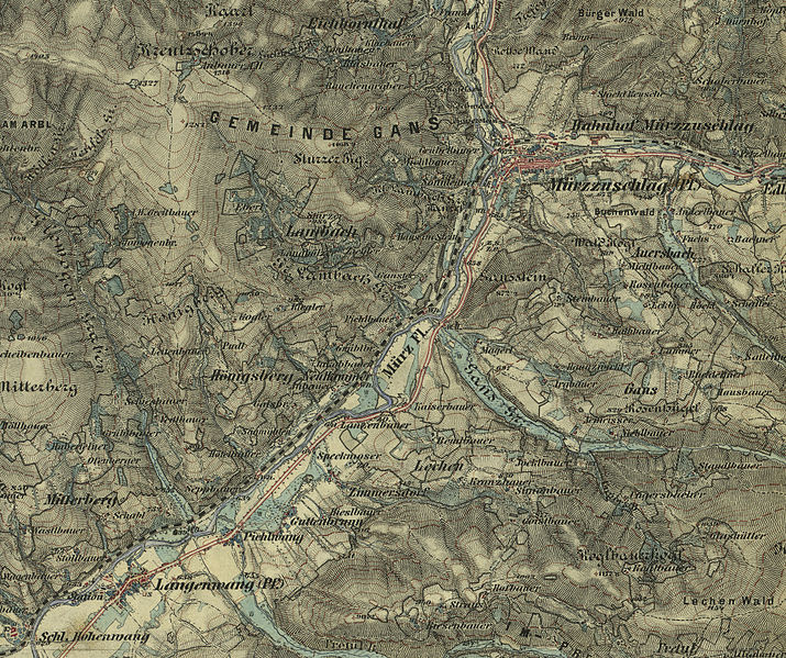
| Description | Langenwang-Mürzzuschlag aus der historischen Landkarte: Gradkartenblatt Zone 15 Colonne XIII Section SO (Südost) (später 4955/4). Mürzzuschlag, Steinhaus, Langenwang, Alpl, Pretul, Stuhleck, Rettenegg, Pfaffensattel, Fröschnitz. Franzisco-josephinische (3.) Landesaufnahme der österreichisch-ungarischen Monarchie. Aufnahmeblatt 1:25.000. Aufgenommen 1876/77 |
| Date | (UTC) |
| Source |
This file was derived from: Aufnahmeblatt 4955-4 Mürzzuschlag.jpg: |
| Author |
|
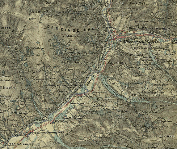
| This is a retouched picture, which means that it has been digitally altered from its original version. Modifications: Cutout. The original can be viewed here: Aufnahmeblatt 4955-4 Mürzzuschlag.jpg:
|
Licensing
[edit]
|
This work is in the public domain in its country of origin and other countries and areas where the copyright term is the author's life plus 70 years or fewer.
| |
| This file has been identified as being free of known restrictions under copyright law, including all related and neighboring rights. | |
Original upload log
[edit]
This image is a derivative work of the following images:
- File:Aufnahmeblatt_4955-4_Mürzzuschlag.jpg licensed with PD-old
- 2010-02-05T20:22:23Z Josef Moser 9664x7246 (49830277 Bytes) {{Information |Description=historische Landkarte: Gradkartenblatt Zone 15 Colonne XII Section SO (Südost) (später 4955/4). Mürzzuschlag, Steinhaus, Langenwang, Alpl, Pretul, Stuhleck, Rettenegg, Pfaffensattel, Fröschnitz.
Uploaded with derivativeFX
File history
Click on a date/time to view the file as it appeared at that time.
| Date/Time | Thumbnail | Dimensions | User | Comment | |
|---|---|---|---|---|---|
| current | 12:37, 18 August 2012 | | 3,704 × 3,104 (8.2 MB) | W!B: (talk | contribs) | == {{int:filedesc}} == {{Information |Description=Langenwang-Mürzzuschlag aus der historischen Landkarte: Gradkartenblatt Zone 15 Colonne XIII Section SO (Südost) (später 4955/4). Mürzzuschlag, Steinhaus, Langenwang, Alpl, Pretul, Stuhleck, Rettene... |
You cannot overwrite this file.
File usage on Commons
There are no pages that use this file.
File usage on other wikis
The following other wikis use this file: