File:Atlas of Fort Wayne, Allen County, Indiana LOC 2007626893-6.tif
Jump to navigation
Jump to search

Size of this JPG preview of this TIF file: 800 × 560 pixels. Other resolutions: 320 × 224 pixels | 640 × 448 pixels | 1,024 × 717 pixels | 1,280 × 896 pixels | 2,560 × 1,792 pixels | 4,790 × 3,353 pixels.
Original file (4,790 × 3,353 pixels, file size: 45.95 MB, MIME type: image/tiff)
Captions
Captions
Add a one-line explanation of what this file represents
Summary
[edit]| Description |
English: Available also through the Library of Congress Web site as a raster image. Includes index. LC copy imperfect: Cover separated from binding. Vendor: John Carbonell Acquisitions control no. 2007-144 |
||
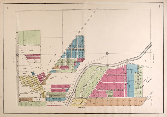
| Title | Atlas of Fort Wayne, Allen County, Indiana | ||
| Shelf ID | G1404.F7 R3 1924 | ||
| Parent | https://www.loc.gov/resource/g4094fm.gla00087/ | ||
| Sheet title | Outline Map | ||
| Date | |||
| Source | https://www.loc.gov/item/2007626893/ | ||
| Author | Randall, Frank M.; Hughes, G. L. | ||
| Permission (Reusing this file) |
|
||
| Other versions |
|
||
| Location | United States · Indiana · Fort Wayne · Fort Wayne (Allen County) · Allen County | ||
| Part of | American Memory · Catalog · County Landownership Maps · Geography And Map Division · Cultural Landscapes | ||
| Subject | Fort Wayne (Allen County) · Fort Wayne (Ind.) · United States · Maps · Fort Wayne · Allen County · Indiana · Real Property · Landowners |


Licensing
[edit]This work is in the public domain in the United States because it is a work prepared by an officer or employee of the United States Government as part of that person’s official duties under the terms of Title 17, Chapter 1, Section 105 of the US Code.
Note: This only applies to original works of the Federal Government and not to the work of any individual U.S. state, territory, commonwealth, county, municipality, or any other subdivision. This template also does not apply to postage stamp designs published by the United States Postal Service since 1978. (See § 313.6(C)(1) of Compendium of U.S. Copyright Office Practices). It also does not apply to certain US coins; see The US Mint Terms of Use.
|
 | |
| This file has been identified as being free of known restrictions under copyright law, including all related and neighboring rights. | ||
File history
Click on a date/time to view the file as it appeared at that time.
| Date/Time | Thumbnail | Dimensions | User | Comment | |
|---|---|---|---|---|---|
| current | 21:00, 12 July 2018 |  | 4,790 × 3,353 (45.95 MB) | Fæ (talk | contribs) | LOC Maps multisheet https://www.loc.gov/item/2007626893/ sheet 6 of 24 #22257 |
You cannot overwrite this file.
File usage on Commons
The following page uses this file: