File:Aruba location map.svg
Jump to navigation
Jump to search

Size of this PNG preview of this SVG file: 800 × 400 pixels. Other resolutions: 320 × 160 pixels | 640 × 320 pixels | 1,024 × 512 pixels | 1,280 × 640 pixels | 2,560 × 1,280 pixels | 2,200 × 1,100 pixels.
Original file (SVG file, nominally 2,200 × 1,100 pixels, file size: 94 KB)
Captions
Captions
Add a one-line explanation of what this file represents
| Description |
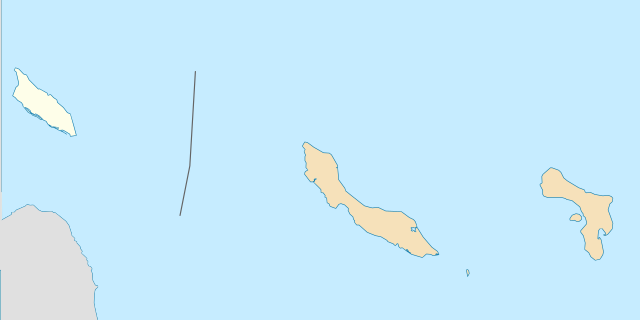
Deutsch: Positionskarte der Aruba. Quadratische Plattkarte, N-S-Streckung 100 %, Geographische Begrenzung der Karte: * N: 12.85° N * S: 11.83° N * W: 70.1° W * O: 68.1° W English: Location map of the Aruba. Equirectangular projection, N/S stretching 100 %, Geographic limits of the map: * N: 12.85° N * S: 11.83° N * W: 70.1° W * E: 68.1° W |
| Date | (UTC) |
| Source | ABC Islands location map.svg |
| Author |
|
| SVG development |
| This is a retouched picture, which means that it has been digitally altered from its original version. Modifications: modified with Inkscape for highligthing Aruba. The original can be viewed here: ABC Islands location map.svg:
|
I, the copyright holder of this work, hereby publish it under the following licenses:
This file is licensed under the Creative Commons Attribution-Share Alike 3.0 Unported license.
- You are free:
- to share – to copy, distribute and transmit the work
- to remix – to adapt the work
- Under the following conditions:
- attribution – You must give appropriate credit, provide a link to the license, and indicate if changes were made. You may do so in any reasonable manner, but not in any way that suggests the licensor endorses you or your use.
- share alike – If you remix, transform, or build upon the material, you must distribute your contributions under the same or compatible license as the original.

|
Permission is granted to copy, distribute and/or modify this document under the terms of the GNU Free Documentation License, Version 1.2 or any later version published by the Free Software Foundation; with no Invariant Sections, no Front-Cover Texts, and no Back-Cover Texts. A copy of the license is included in the section entitled GNU Free Documentation License. |
You may select the license of your choice.
Original upload log
[edit]
This image is a derivative work of the following images:
- File:ABC Islands location map.svg licensed with Cc-by-sa-3.0, GFDL
- 2009-06-12T09:55:19Z Rosso Robot 2200x1100 (89437 Bytes) cropped map
- 2009-06-11T22:21:22Z Rosso Robot 2200x2200 (89413 Bytes) {{Information |Description={{de|1=Positionskarte der [[:de:ABC-Inseln|ABC-Inseln]] Quadratische Plattkarte, N-S-Streckung 100 %, Geographische Begrenzung der Karte: * N: 13° N * S: 11° N * W: 70.1° W * O: 68.1° W}} {{en|1
Uploaded with derivativeFX
File history
Click on a date/time to view the file as it appeared at that time.
| Date/Time | Thumbnail | Dimensions | User | Comment | |
|---|---|---|---|---|---|
| current | 16:17, 7 December 2011 | | 2,200 × 1,100 (94 KB) | Thayts (talk | contribs) | Corrected border placement |
| 12:59, 2 December 2009 |  | 2,200 × 1,100 (94 KB) | Xfigpower (talk | contribs) | {{Information |Description={{de|1=Positionskarte der Aruba Quadratische Plattkarte, N-S-Streckung 100 %, Geographische Begrenzung der Karte: * N: 12.85° N * S: 11.83° N * W: 70.1° W * O: 68.1° W}} {{en|1=Location map of the [[:en:Aruba|A |
You cannot overwrite this file.
File usage on Commons
The following page uses this file:
.svg)
File usage on other wikis
The following other wikis use this file:
- Usage on af.wikipedia.org
- Usage on ba.wikipedia.org
- Usage on de.wikipedia.org
- Usage on es.wikipedia.org
- Usage on frr.wikipedia.org
- Usage on ko.wikipedia.org
- Usage on nl.wikipedia.org
- Usage on os.wikipedia.org
- Usage on pt.wikipedia.org
- Usage on sl.wikipedia.org