File:Area 3, Georgia LOC 82696283.tif
Jump to navigation
Jump to search

Size of this JPG preview of this TIF file: 471 × 599 pixels. Other resolutions: 189 × 240 pixels | 377 × 480 pixels | 604 × 768 pixels | 805 × 1,024 pixels | 1,610 × 2,048 pixels | 2,831 × 3,600 pixels.
Original file (2,831 × 3,600 pixels, file size: 29.16 MB, MIME type: image/tiff)
Captions
Captions
Add a one-line explanation of what this file represents
Summary
[edit]| Description |
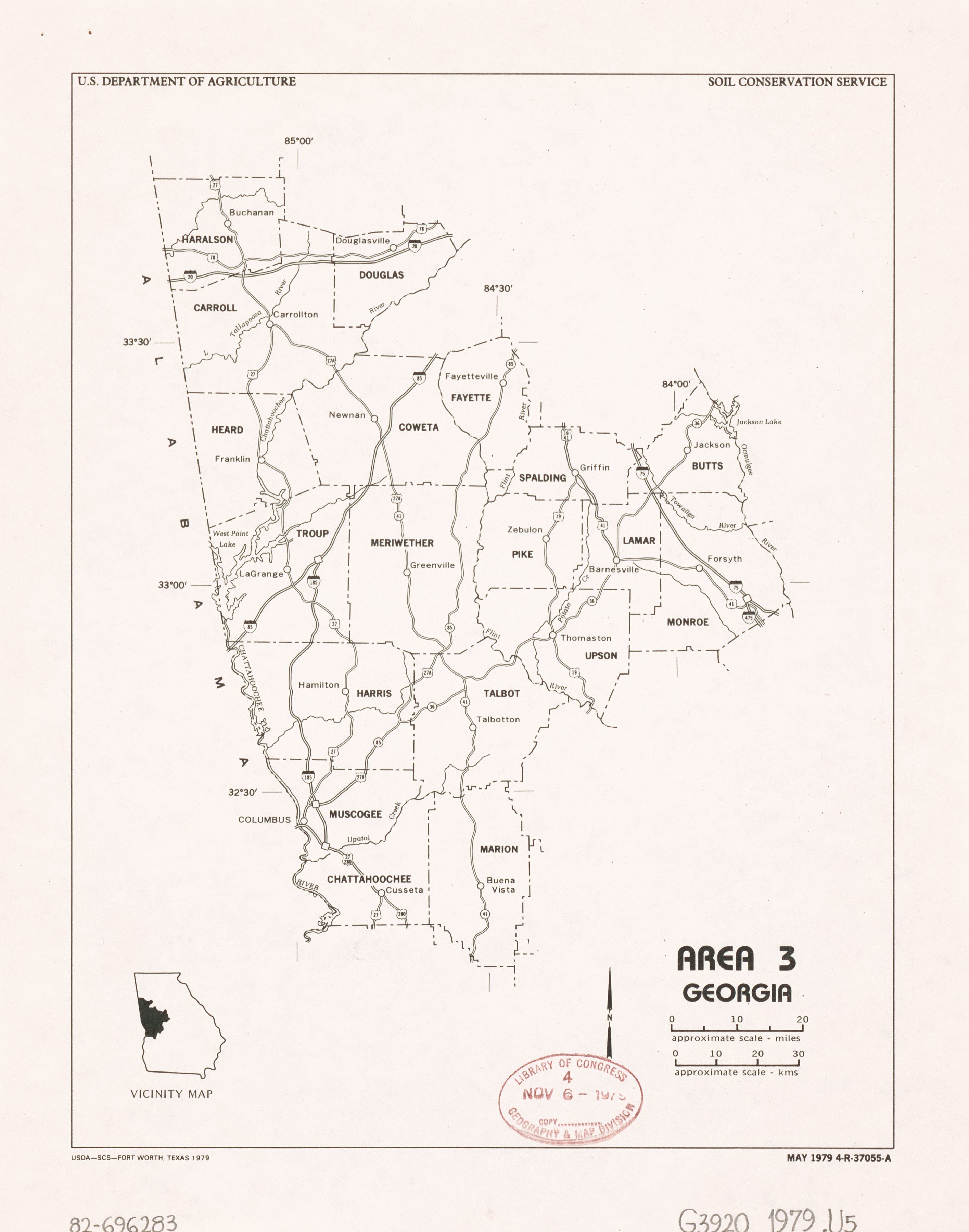
English: Covers 19 counties in west central Georgia. Includes location map. "May 1979 4-R-37055-A." Available also through the Library of Congress Web site as a raster image. |
||
| Title | Area 3, Georgia | ||
| Shelf ID | G3920 1979 .U5 | ||
| Date | |||
| Source | https://www.loc.gov/item/82696283/ | ||
| Author | United States. Soil Conservation Service | ||
| Permission (Reusing this file) |
|
||
| Other versions |
|
||
| Location | United States · Georgia | ||
| Part of | American Memory · Catalog · Geography And Map Division · Additional Conservation And Environment Cartographic Items | ||
| Subject | United States · Maps · Georgia |


Licensing
[edit]| This work is from the Library of Congress. According to the library, there are no known copyright restrictions on the use of this work. |  |
File history
Click on a date/time to view the file as it appeared at that time.
| Date/Time | Thumbnail | Dimensions | User | Comment | |
|---|---|---|---|---|---|
| current | 23:04, 5 August 2018 |  | 2,831 × 3,600 (29.16 MB) | Fæ (talk | contribs) | LOC Maps https://www.loc.gov/item/82696283/ #23826 |
You cannot overwrite this file.
File usage on Commons
The following page uses this file: