File:Antigua location map.svg
Jump to navigation
Jump to search

Size of this PNG preview of this SVG file: 437 × 328 pixels. Other resolutions: 320 × 240 pixels | 640 × 480 pixels | 1,023 × 768 pixels | 1,280 × 961 pixels | 2,560 × 1,921 pixels.
Original file (SVG file, nominally 437 × 328 pixels, file size: 161 KB)
Captions
Captions
Add a one-line explanation of what this file represents
Summary
[edit]
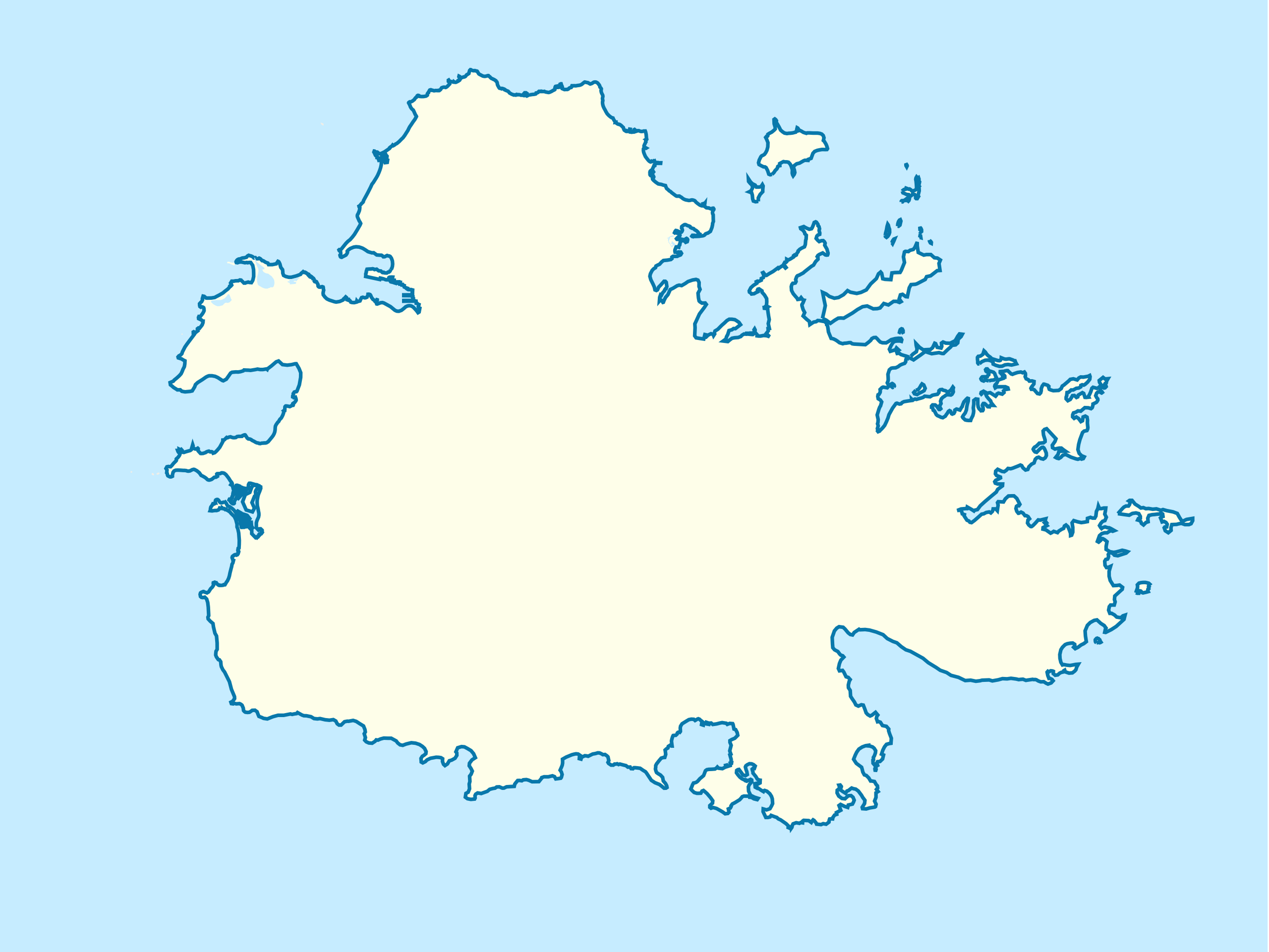
| Description | Based on Antigua and Barbuda location map.svg. |
| Date | 16 November 2012 (original upload date) |
| Source | Transferred from en.wikipedia to Commons by Obersachse. |
| Author | The original uploader was TheBigJagielka at English Wikipedia. |
Licensing
[edit]
This file is licensed under the Creative Commons Attribution-Share Alike 3.0 Unported license.
- You are free:
- to share – to copy, distribute and transmit the work
- to remix – to adapt the work
- Under the following conditions:
- attribution – You must give appropriate credit, provide a link to the license, and indicate if changes were made. You may do so in any reasonable manner, but not in any way that suggests the licensor endorses you or your use.
- share alike – If you remix, transform, or build upon the material, you must distribute your contributions under the same or compatible license as the original.
Original upload log
[edit]
The original description page was here. All following user names refer to en.wikipedia.
Upload date | User | Bytes | Dimensions | Comment
- 2012-11-16 15:16:33 | TheBigJagielka | 164559 | 437×328 | Based on Antigua and Barbuda location map.svg
File history
Click on a date/time to view the file as it appeared at that time.
| Date/Time | Thumbnail | Dimensions | User | Comment | |
|---|---|---|---|---|---|
| current | 19:01, 18 January 2013 | | 437 × 328 (161 KB) | Obersachse (talk | contribs) | {{BotMoveToCommons|en.wikipedia|year={{subst:CURRENTYEAR}}|month={{subst:CURRENTMONTHNAME}}|day={{subst:CURRENTDAY}}}} The tool and the bot are operated by User:Jan Luca and User:Magnus Manske. =={{int:filedesc}}== {{Information |description=B... |
You cannot overwrite this file.
File usage on Commons
There are no pages that use this file.
File usage on other wikis
The following other wikis use this file:
- Usage on ar.wikipedia.org
- Usage on az.wikipedia.org
- Usage on bs.wikipedia.org
- Usage on ceb.wikipedia.org
- Usage on en.wikipedia.org
- English Harbour
- Bolans
- Antigua and Barbuda Premier Division
- All Saints, Antigua and Barbuda
- Liberta, Antigua and Barbuda
- Falmouth, Antigua and Barbuda
- Potters Village
- Bethesda, Antigua and Barbuda
- Sawcolts
- Greenbay
- 2012 Caribbean Cup
- Module:Location map/data/Antigua/doc
- Codrington Island
- Five Islands, Antigua and Barbuda
- Module:Location map/data/Antigua
- Urlings
- Ebenezer, Antigua and Barbuda
- Marsh Village
- User:Jstevens305/Hodges Bay
- User:CROIX/allsaintsrewrite
- User:CROIX/urlingsrewrite
- Bridgetown, Antigua and Barbuda
- Fort Barrington, Antigua and Barbuda
- Fort Berkeley
- Fort Charlotte, Antigua and Barbuda
- Ffryes, Saint Mary, Antigua and Barbuda
- Antigua Naval Dockyard and Related Archaeological Sites
- Usage on fa.wikipedia.org
- Usage on ilo.wikipedia.org
- Usage on kn.wikipedia.org
- Usage on ko.wikipedia.org
- Usage on ms.wikipedia.org
- Usage on no.wikipedia.org
- Usage on ru.wikipedia.org
- Usage on sd.wikipedia.org
- Usage on si.wikipedia.org
- Usage on tg.wikipedia.org
- Usage on tr.wikipedia.org
View more global usage of this file.