File:Allegheny Portage Railroad National Historic Site, Pennsylvania LOC 2005625795.tif
Jump to navigation
Jump to search

Size of this JPG preview of this TIF file: 639 × 599 pixels. Other resolutions: 256 × 240 pixels | 512 × 480 pixels | 819 × 768 pixels | 1,092 × 1,024 pixels | 2,184 × 2,048 pixels | 5,028 × 4,716 pixels.
Original file (5,028 × 4,716 pixels, file size: 67.84 MB, MIME type: image/tiff)
Captions
Captions
Add a one-line explanation of what this file represents
Summary
[edit]| Description |
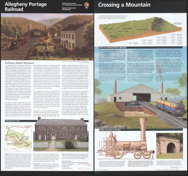
English: Aerial view of railroad drawn to resemble a block diagram. "*GPO:2004--304-337/00093. Reprint 2004." Relief shown by shading. Title from panel. Includes text, index of cable inclines, view of summit sheds, and col. ill. Text, small map of site, and col. ill. on verso. Available also through the Library of Congress Web site as a raster image. |
||
| Title | Allegheny Portage Railroad National Historic Site, Pennsylvania | ||
| Shelf ID | G3822.A48A3 2004 .U5 | ||
| Date | |||
| Source | https://www.loc.gov/item/2005625795/ | ||
| Author | United States. National Park Service; Townsend, L. Kenneth | ||
| Permission (Reusing this file) |
|
||
| Other versions |
|
||
| Location | Pennsylvania · United States · Allegheny Portage Railroad National Historic Site. · Allegheny Portage Railroad National Historic Site | ||
| Part of | American Memory · General Maps · Catalog · Transportation And Communication · Geography And Map Division | ||
| Subject | United States · Aerial Views · Pennsylvania · Allegheny Portage Railroad National Historic Site (Pa.) · Maps · Allegheny Portage Railroad National Historic Site |


Licensing
[edit]| This image or media file contains material based on a work of a National Park Service employee, created as part of that person's official duties. As a work of the U.S. federal government, such work is in the public domain in the United States. See the NPS website and NPS copyright policy for more information. |
File history
Click on a date/time to view the file as it appeared at that time.
| Date/Time | Thumbnail | Dimensions | User | Comment | |
|---|---|---|---|---|---|
| current | 07:49, 18 May 2018 |  | 5,028 × 4,716 (67.84 MB) | Fæ (talk | contribs) | LOC Maps https://www.loc.gov/item/2005625795/ #1690 |
You cannot overwrite this file.
File usage on Commons
The following page uses this file: