File:Alagoas MetropolitanRegions.svg
Jump to navigation
Jump to search

Size of this PNG preview of this SVG file: 800 × 430 pixels. Other resolutions: 320 × 172 pixels | 640 × 344 pixels | 1,024 × 550 pixels | 1,280 × 687 pixels | 2,560 × 1,374 pixels | 1,261 × 677 pixels.
Original file (SVG file, nominally 1,261 × 677 pixels, file size: 123 KB)
Captions
Captions
Add a one-line explanation of what this file represents
Summary
[edit]
| Description |
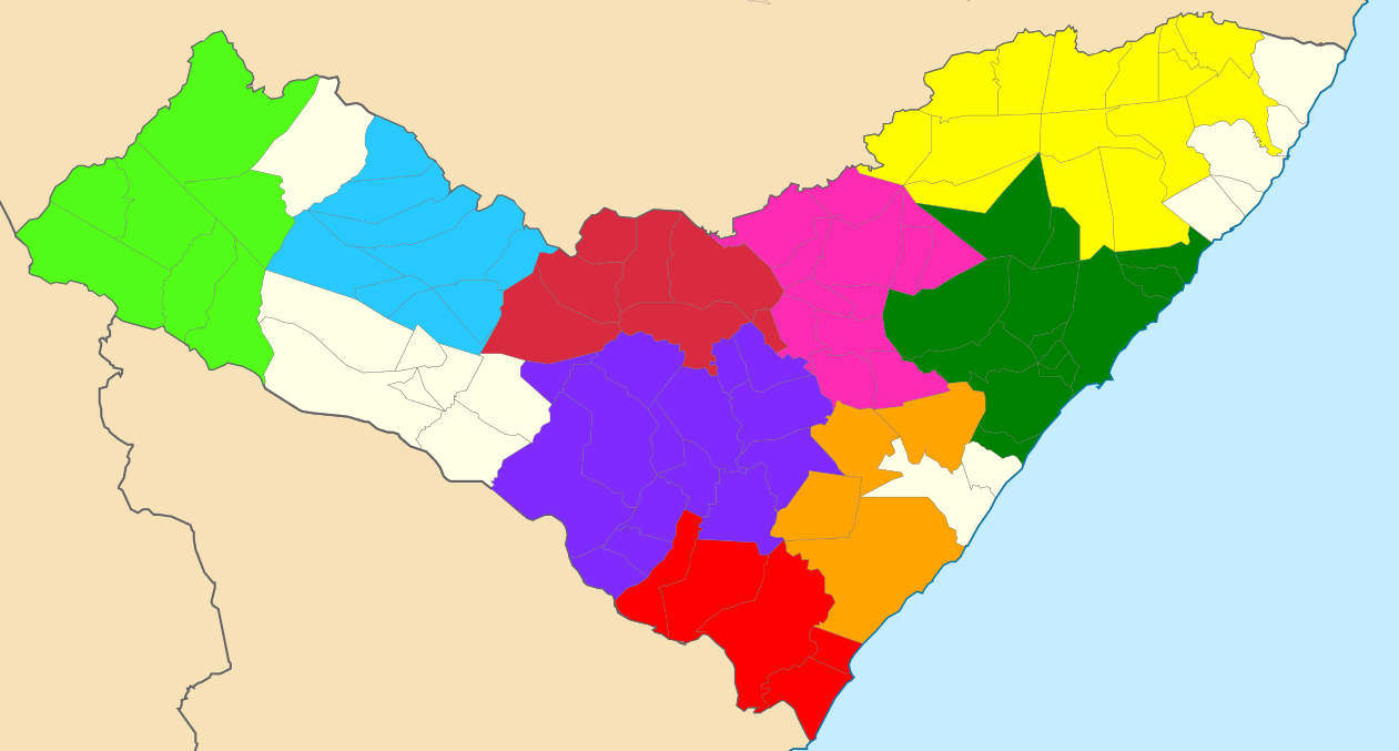
English: Map locator of Alagoas's metropolitan regions.
|
| Date | (UTC) |
| Source |
This file was derived from: Alagoas RM Agreste.svg: |
| Author |
|
| This is a retouched picture, which means that it has been digitally altered from its original version. The original can be viewed here: Alagoas RM Agreste.svg:
|
Licensing
[edit]
This file is licensed under the Creative Commons Attribution-Share Alike 3.0 Unported license.
- You are free:
- to share – to copy, distribute and transmit the work
- to remix – to adapt the work
- Under the following conditions:
- attribution – You must give appropriate credit, provide a link to the license, and indicate if changes were made. You may do so in any reasonable manner, but not in any way that suggests the licensor endorses you or your use.
- share alike – If you remix, transform, or build upon the material, you must distribute your contributions under the same or compatible license as the original.
Original upload log
[edit]
This image is a derivative work of the following images:
- File:Alagoas_RM_Agreste.svg licensed with Cc-by-2.5, Cc-by-sa-3.0-migrated, GFDL
- 2011-08-14T01:15:20Z Marcos Elias de Oliveira Júnior 1261x677 (664464 Bytes) Updated map.
- 2011-07-01T22:29:04Z Marcos Elias de Oliveira Júnior 1261x677 (664464 Bytes) {{Information |Description ={{en|1=Map locator of Alagoas's Agreste metropolitan region}} {{pt|1=Localização da [[:pt:Região Metropolitana do Agreste|Região Metropolitana do Agreste]] no [[:pt:Alagoas|estado de Alagoas
Uploaded with derivativeFX
File history
Click on a date/time to view the file as it appeared at that time.
| Date/Time | Thumbnail | Dimensions | User | Comment | |
|---|---|---|---|---|---|
| current | 20:48, 19 February 2021 | | 1,261 × 677 (123 KB) | Palmandrade (talk | contribs) | Correção de alguns municípios. |
| 23:42, 18 February 2021 |  | 1,261 × 677 (123 KB) | Palmandrade (talk | contribs) | Adicionei todas as regiões que faltavam. | |
| 01:55, 15 August 2012 |  | 1,261 × 677 (646 KB) | Marquinhos (talk | contribs) | Updated map. | |
| 18:12, 28 July 2012 |  | 1,261 × 677 (645 KB) | Luan (talk | contribs) | == {{int:filedesc}} == {{Information |Description={{en|1=Map locator of Alagoas's metropolitan regions.}} {{pt|1=Localização das regiões metropolitanas do estado de Alagoas (Agreste e [[:pt:Re... |
You cannot overwrite this file.
File usage on Commons
There are no pages that use this file.