File:A new chart of the coast of North America - from New York to Cape Hatteras, including the bays of Delaware and Chesapeak, with the coasts of New Jersey, Maryland, Virginia and part of the coast of NYPL434795.tiff
Jump to navigation
Jump to search

Size of this JPG preview of this TIF file: 403 × 599 pixels. Other resolutions: 161 × 240 pixels | 323 × 480 pixels | 517 × 768 pixels | 689 × 1,024 pixels | 1,379 × 2,048 pixels | 5,637 × 8,372 pixels.
Original file (5,637 × 8,372 pixels, file size: 135.02 MB, MIME type: image/tiff)
Captions
Captions
Add a one-line explanation of what this file represents
Summary
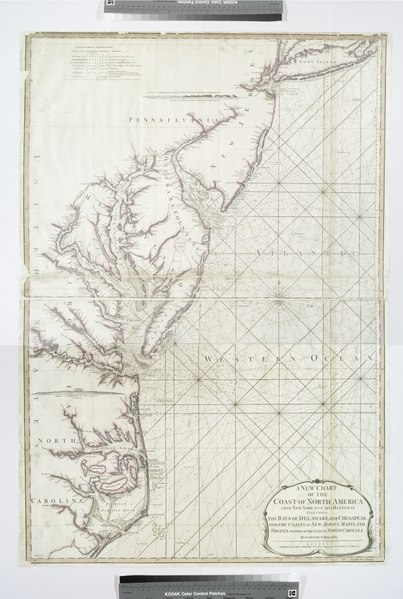
[edit]| Description | A new chart of the coast of North America : from New York to Cape Hatteras, including the bays of Delaware and Chesapeak, with the coasts of New Jersey, Maryland, Virginia and part of the coast of North Carolina / by Captain N. Holland.; Maps of North America. / Countries / United States (except New York) / Parts | |||||||||||||||||||||||
| Notes | Ford Collection. ''Note 2.'') Includes "Astronomical observations," notes, and 2 coastal panoramas. ''Note 3.'') National Endowment for the Humanities Grant for Access to Early Maps of the Middle Atlantic Seaboard. ''Note 4.'') Partial relief shown by hachures and pictorially. Depths shown by soundings. ''Note 5.'') Prime meridian: London. | |||||||||||||||||||||||
| Catalogue call number | Map Div. 01-297 | |||||||||||||||||||||||
| Date | ||||||||||||||||||||||||
| Source |
http://digitalgallery.nypl.org/nypldigital/dgkeysearchdetail.cfm?imageID=434795
|
|||||||||||||||||||||||
| Author | Robert Laurie and James Whittle -- Publisher; Holland, N., Captain -- Surveyor | |||||||||||||||||||||||
| Permission (Reusing this file) |
From The Lionel Pincus and Princess Firyal Map Division. http://maps.nypl.org
|
|||||||||||||||||||||||
| Location | Stephen A. Schwarzman Building / The Lionel Pincus and Princess Firyal Map Division | |||||||||||||||||||||||
| Digital item published | 2-3-2004; updated 3-25-2011 | |||||||||||||||||||||||
| Digital ID | 434795 | |||||||||||||||||||||||

The making of this file was supported by Wikimedia UK.
To see other files made with the support of Wikimedia UK, please see the category Supported by Wikimedia UK.
|
File history
Click on a date/time to view the file as it appeared at that time.
| Date/Time | Thumbnail | Dimensions | User | Comment | |
|---|---|---|---|---|---|
| current | 20:45, 20 April 2014 |  | 5,637 × 8,372 (135.02 MB) | Fæ (talk | contribs) | GWToolset:: Creating mediafile for Fæ. Tranche 2.1206 |
You cannot overwrite this file.
File usage on Commons
There are no pages that use this file.