File:A New Map of The Roman Empire, 1651.jpg
Jump to navigation
Jump to search
Size of this preview: 768 × 600 pixels. Other resolutions: 307 × 240 pixels | 615 × 480 pixels | 983 × 768 pixels | 1,280 × 1,000 pixels | 2,560 × 2,000 pixels | 6,230 × 4,867 pixels.
Original file (6,230 × 4,867 pixels, file size: 5.73 MB, MIME type: image/jpeg)
Captions
Captions
Add a one-line explanation of what this file represents
Summary
[edit]
| Description |
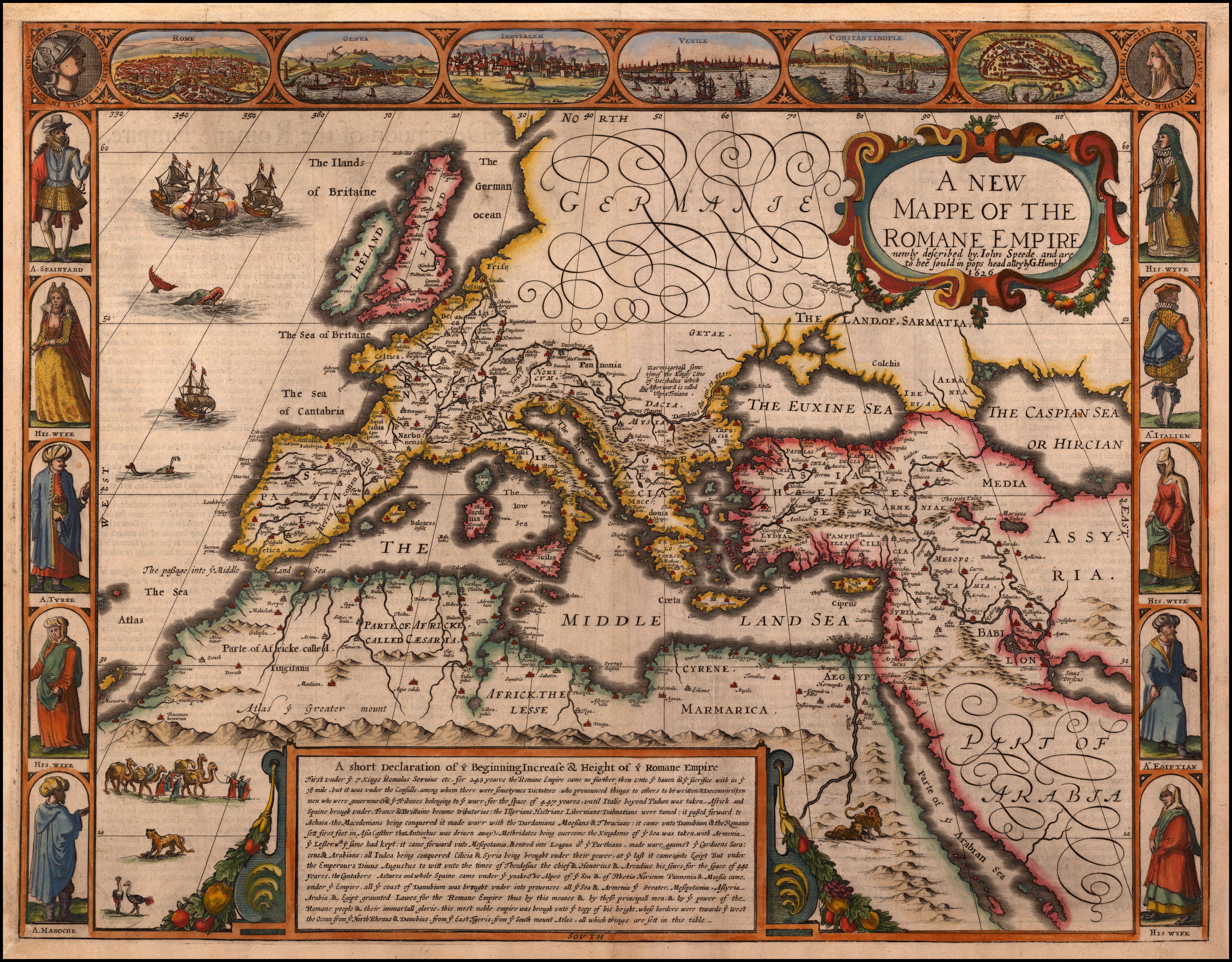
English: A New Map of The Roman Empire, 1651. Striking example of Speed's map of the Roman Empire. The map focuses on the Mediterranean and the regions dominated by Rome at the height of its empire. Includes views of Rome, Venice, Genoa, Jerusalem, Constantinople, along with costumed figures.
Map shows Italy, Mediterranean, Europe, Turkey, Asia Minor. |
| Date | |
| Source | https://searchworks.stanford.edu/view/xg698kc9668 |
| Author | Speed |
Licensing
[edit]
|
This work is in the public domain in its country of origin and other countries and areas where the copyright term is the author's life plus 100 years or fewer. This work is in the public domain in the United States because it was published (or registered with the U.S. Copyright Office) before January 1, 1929. | |
| This file has been identified as being free of known restrictions under copyright law, including all related and neighboring rights. | |
File history
Click on a date/time to view the file as it appeared at that time.
| Date/Time | Thumbnail | Dimensions | User | Comment | |
|---|---|---|---|---|---|
| current | 21:12, 27 May 2023 | | 6,230 × 4,867 (5.73 MB) | Yann (talk | contribs) | {{Information |Description={{en|A New Map of The Roman Empire, 1651. Striking example of Speed's map of the Roman Empire. The map focuses on the Mediterranean and the regions dominated by Rome at the height of its empire. Includes views of Rome, Venice, Genoa, Jerusalem, Constantinople, along with costumed figures. Map shows Italy, Mediterranean, Europe, Turkey, Asia Minor.}} |Source=https://searchworks.stanford.edu/view/xg698kc9668 |Date=1651 |Author=Speed |Permission= |other_versions= }} |
You cannot overwrite this file.
File usage on Commons
There are no pages that use this file.