File:3-4 VIEW FROM SE. - Broad Street Bridge, Spanning Comanche Creek at Broad Street, Mason, Mason County, TX HAER TX,160-MASON,1-4.tif
Jump to navigation
Jump to search

Size of this JPG preview of this TIF file: 758 × 599 pixels. Other resolutions: 304 × 240 pixels | 607 × 480 pixels | 972 × 768 pixels | 1,280 × 1,012 pixels | 2,560 × 2,024 pixels | 5,000 × 3,953 pixels.
Original file (5,000 × 3,953 pixels, file size: 18.85 MB, MIME type: image/tiff)
Captions
Captions
Add a one-line explanation of what this file represents
Summary
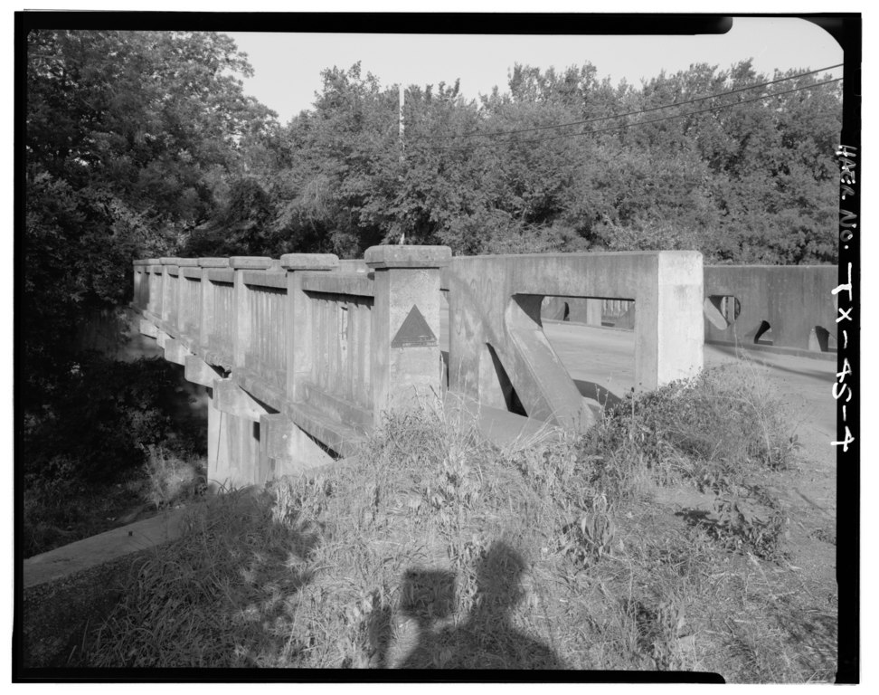
[edit]| 3-4 VIEW FROM SE. - Broad Street Bridge, Spanning Comanche Creek at Broad Street, Mason, Mason County, TX | ||||
|---|---|---|---|---|
| Photographer |
Elliott, Joseph E. |
|||
| Title |
3-4 VIEW FROM SE. - Broad Street Bridge, Spanning Comanche Creek at Broad Street, Mason, Mason County, TX |
|||
| Description |
Alamo Construction Company; Texas Department of TRansportation, sponsor; Texas Historical Commission, sponsor; Brooks, Pete, field team; Brown, Mark M., historian; Elliot, Joseph E.B., photographer; Hardman, Peggy, historian |
|||
| Depicted place | Texas; Mason County; Mason | |||
| Date | Documentation compiled after 1968 | |||
| Dimensions | 4 x 5 in. | |||
| Current location |
Library of Congress Prints and Photographs Division Washington, D.C. 20540 USA http://hdl.loc.gov/loc.pnp/pp.print |
|||
| Accession number |
HAER TX,160-MASON,1-4 |
|||
| Credit line |
|
|||
| Notes |
|
|||
| Source | https://www.loc.gov/pictures/item/tx0772.photos.366560p | |||
| Permission (Reusing this file) |
|
|||

| Object location | | View this and other nearby images on: OpenStreetMap |
|---|
File history
Click on a date/time to view the file as it appeared at that time.
| Date/Time | Thumbnail | Dimensions | User | Comment | |
|---|---|---|---|---|---|
| current | 09:07, 2 August 2014 |  | 5,000 × 3,953 (18.85 MB) | Fæ (talk | contribs) | GWToolset: Creating mediafile for Fæ. HABS 2014-08-01 (3201:3400) |
You cannot overwrite this file.
File usage on Commons
The following page uses this file: