File:2010 UK blank Election Map.svg
Jump to navigation
Jump to search

Size of this PNG preview of this SVG file: 570 × 599 pixels. Other resolutions: 228 × 240 pixels | 457 × 480 pixels | 731 × 768 pixels | 974 × 1,024 pixels | 1,948 × 2,048 pixels | 783 × 823 pixels.
Original file (SVG file, nominally 783 × 823 pixels, file size: 8.43 MB)
Captions
Captions
Add a one-line explanation of what this file represents
| Description |
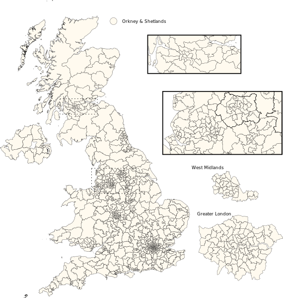
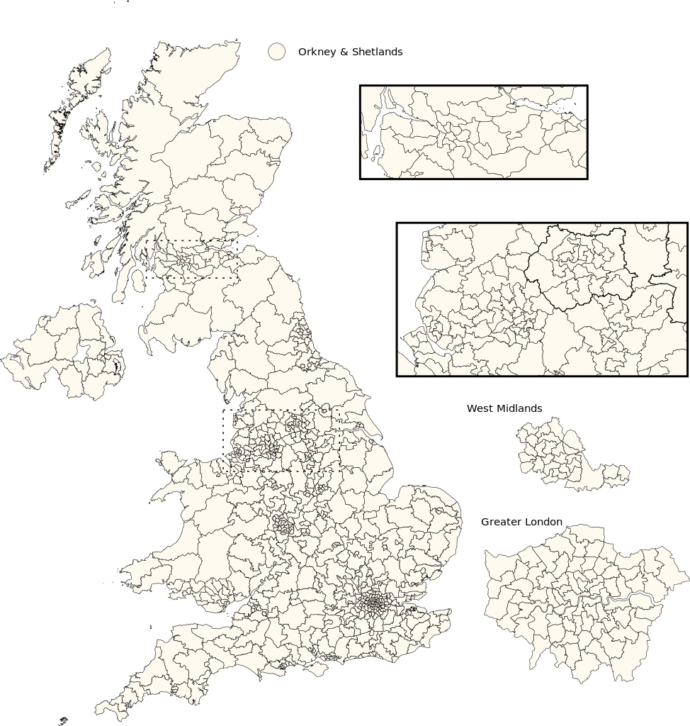
English: Blank map of constituencies in the United Kingdom as of 2010. Deutsch: Karte der Wahlkreise im Vereinigten Königreich 2010. |
||
| Date |
|
||
| Source |
This file was derived from: 2010UKElectionMap.svg |
||
| Author |
|
||
| Permission (Reusing this file) |
|
File history
Click on a date/time to view the file as it appeared at that time.
| Date/Time | Thumbnail | Dimensions | User | Comment | |
|---|---|---|---|---|---|
| current | 23:48, 27 March 2015 | | 783 × 823 (8.43 MB) | Furfur (talk | contribs) | color for Brighton electoral district adjusted |
| 09:09, 14 July 2014 |  | 783 × 823 (8.42 MB) | Furfur (talk | contribs) | {{Information |Description={{de|1=Karte der Wahlkreise im Vereinigten Königreich 2010.}}{{en|1=Blank map of constituencies in the United Kingdom as of 2010.}} |Source=2010UKElectionMap.svg, made by [[User:Wereon|Wereon]... |
You cannot overwrite this file.
File usage on Commons
The following page uses this file:
File usage on other wikis
The following other wikis use this file:
- Usage on de.wikipedia.org