File:1862 Johnson Map of Brazil, Paraguay, Uruguay and Argentina - Geographicus - Brazil-johnson-1862.jpg
Jump to navigation
Jump to search

Size of this preview: 445 × 599 pixels. Other resolutions: 178 × 240 pixels | 356 × 480 pixels | 570 × 768 pixels | 760 × 1,024 pixels | 1,521 × 2,048 pixels | 2,599 × 3,500 pixels.
Original file (2,599 × 3,500 pixels, file size: 2.6 MB, MIME type: image/jpeg)
Captions
Captions
Add a one-line explanation of what this file represents
| Alvin Jewett Johnson: Johnson's Brazil Argentine Republic, Paraguay and Uruguay.
( |
|||||||||||||||||||||||
|---|---|---|---|---|---|---|---|---|---|---|---|---|---|---|---|---|---|---|---|---|---|---|---|
| Artist |
|
||||||||||||||||||||||
| Title |
Johnson's Brazil Argentine Republic, Paraguay and Uruguay. |
||||||||||||||||||||||
| Description |
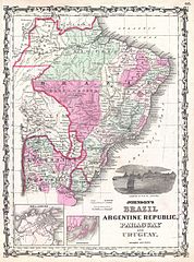
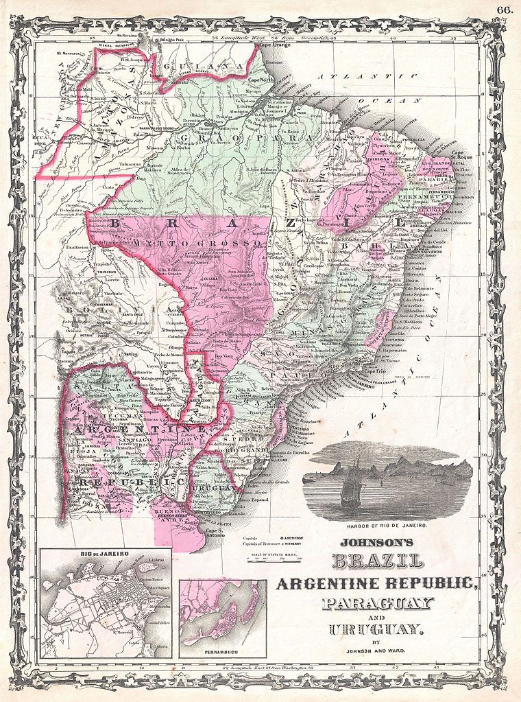
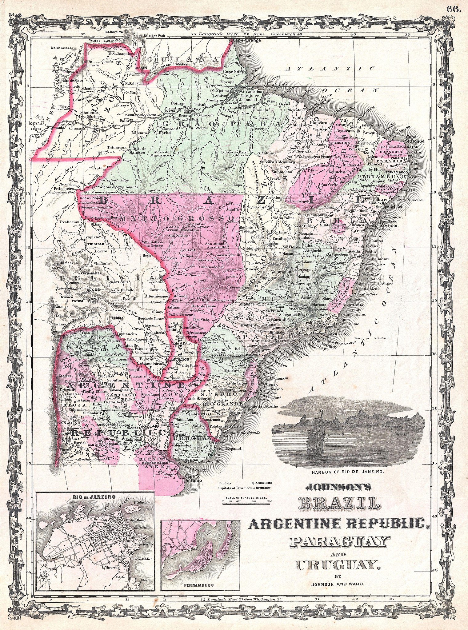
English: A very attractive example of Johnson's 1862 map of Brazil, the Argentine Republic (northern Argentina), Paraguay and Uruguay. Offers excellent detail both along the coast and inland, especially along navigable rivers. Shows most of Bolivia as well, through the border between Bolivia and Brazil was at the time unsurveyed and largely speculative. Shows the Diamond Region in Bahia, just west of San Salvador. Also notes Iguazu Falls in Argentina (Falls of Iquedas). The Amazon region is unsurprisingly vague though a few river ways and missionary stations are noted. Inset maps in the lower left quadrant detail Rio de Janeiro and Pernambuco. An engraved view in the lower right quadrant dhows a sailing ship entering the Harbor of Rio de Janeiro. Features the strapwork style border common to Johnson’s atlas work from 1860 to 1863. Published by A. J. Johnson and Ward as plate number 66 in the 1862 edition of Johnson’s New Illustrated Family Atlas . This is the first edition of the Family Atlas to bear the Johnson and Ward imprint. |
||||||||||||||||||||||
| Date | 1862 (undated) | ||||||||||||||||||||||
| Dimensions | height: 17.5 in (44.4 cm); width: 12.5 in (31.7 cm) | ||||||||||||||||||||||
| Accession number |
Geographicus link: Brazil-johnson-1862 |
||||||||||||||||||||||
| Source/Photographer |
Johnson, A. J., Johnson's New Illustrated (Steel Plate) Family Atlas with Descriptions, Geographical, Statistical, and Historical. (1862 A. J. Johnson & Ward edition)
|
||||||||||||||||||||||
| Permission (Reusing this file) |
|
||||||||||||||||||||||
File history
Click on a date/time to view the file as it appeared at that time.
| Date/Time | Thumbnail | Dimensions | User | Comment | |
|---|---|---|---|---|---|
| current | 00:24, 23 March 2011 | | 2,599 × 3,500 (2.6 MB) | BotMultichillT (talk | contribs) | {{subst:User:Multichill/Geographicus |link=http://www.geographicus.com/P/AntiqueMap/Brazil-johnson-1862 |product_name=1862 Johnson Map of Brazil, Paraguay, Uruguay and Argentina |map_title=Johnson's Brazil Argentine Republic, Paraguay and Uruguay. |descri |
You cannot overwrite this file.
File usage on Commons
The following page uses this file:
File usage on other wikis
The following other wikis use this file:
- Usage on en.wikipedia.org
- Usage on es.wikipedia.org