File:185 of 'Handbook of the Mozambique Company, Province of Manica-Sofala. (With maps.)' (11223500384).jpg

Original file (4,968 × 3,961 pixels, file size: 3.03 MB, MIME type: image/jpeg)
Captions
Captions
Summary
[edit]%27_(11223500384).jpg&action=edit§ion=1)
| Description |
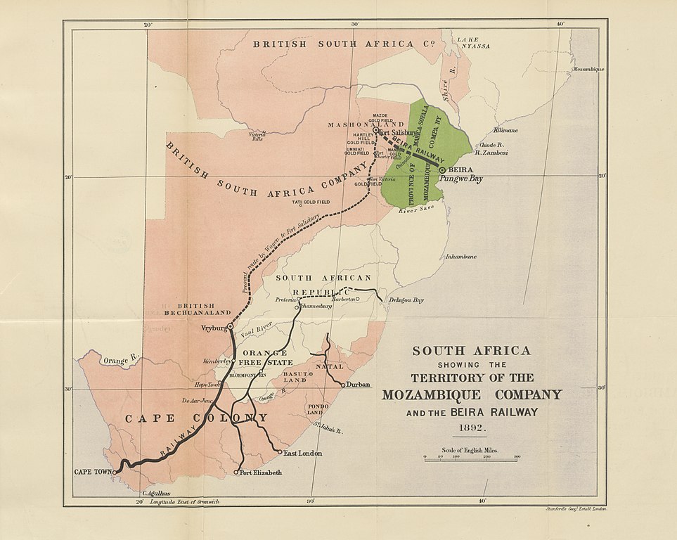
View this map on the BL Georeferencer service. Image taken from: Title: "Handbook of the Mozambique Company, Province of Manica-Sofala. [With maps.]" Author: MOZAMBIQUE COMPANY Shelfmark: "British Library HMNTS 010096.ee.33." Page: 185 Place of Publishing: London Date of Publishing: 1893 Publisher: Clowes & Sons Issuance: monographic Identifier: 002571191 Explore: Find this item in the British Library catalogue, 'Explore'. Open the page in the British Library's itemViewer (page image 185) Download the PDF for this book Image found on book scan 185 (NB not a pagenumber)Download the OCR-derived text for this volume: (plain text) or (json) Click here to see all the illustrations in this book and click here to browse other illustrations published in books in the same year. Order a higher quality version from here. |
| Date | |
| Source | Image taken from page 185 of 'Handbook of the Mozambique Company, Province of Manica-Sofala. [With maps.]' |
| Author | The British Library |
| Permission (Reusing this file) |
The British Library @ Flickr Commons |
Licensing
[edit]%27_(11223500384).jpg&action=edit§ion=2)
This image was taken from Flickr's The Commons. The uploading organization may have various reasons for determining that no known copyright restrictions exist, such as:
More information can be found at https://flickr.com/commons/usage/. Please add additional copyright tags to this image if more specific information about copyright status can be determined. See Commons:Licensing for more information. |
| This image was originally posted to Flickr by The British Library at https://flickr.com/photos/12403504@N02/11223500384 (archive). It was reviewed on 4 February 2018 by FlickreviewR 2 and was confirmed to be licensed under the terms of the No known copyright restrictions. |

|
This file has been provided by the British Library from its digital collections.
|
File history
Click on a date/time to view the file as it appeared at that time.
| Date/Time | Thumbnail | Dimensions | User | Comment | |
|---|---|---|---|---|---|
| current | 01:02, 4 February 2018 | | 4,968 × 3,961 (3.03 MB) | Artix Kreiger 2 (talk | contribs) | Transferred from Flickr via Flickr2Commons |
You cannot overwrite this file.
File usage on Commons
There are no pages that use this file.
Metadata
%27_(11223500384).jpg&oldid=877898495)
- Maps of the Cape Colony
- 1892 maps of Africa
- Gold Fields
- Maps of Orange Free State
- Maps of the South African Republic
- Rail transport in South Africa
- Rail transport in Africa
- Maps of British Bechuanaland
- Maps of Natal Colony
- Handbook of the Mozambique Company (1893)
- 19th-century maps of Mozambique
- 19th-century maps of Southern Africa