Category:Maps of British Bechuanaland
Jump to navigation
Jump to search
Media in category "Maps of British Bechuanaland"
The following 4 files are in this category, out of 4 total.
-
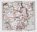
ATLAS JUSTUS PERTHES 13.jpg 4,509 × 3,949; 10.31 MB
-
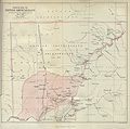
British bechuanaland 1887.jpg 1,644 × 1,627; 181 KB
-
Cape Colony and neighbouring states 1870-1890 b.jpg 1,368 × 992; 159 KB


