File:1846 Eastern Australia state boundaries.jpg
Jump to navigation
Jump to search
No higher resolution available.
1846_Eastern_Australia_state_boundaries.jpg (300 × 495 pixels, file size: 28 KB, MIME type: image/jpeg)
Captions
Captions
Add a one-line explanation of what this file represents
Summary
[edit]| Description |
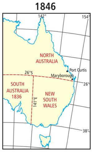
English: 1846 Eastern Australia state boundaries |
||
| Date | 13 March 2018 | ||
| Source | 1846 Eastern Australia state boundaries | ||
| Author | Museum of Lands, Mapping and Surveying | ||
| Permission (Reusing this file) |
This file is licensed under the Creative Commons Attribution-Share Alike 4.0 International license.
|
||
| Other versions |
|


File history
Click on a date/time to view the file as it appeared at that time.
| Date/Time | Thumbnail | Dimensions | User | Comment | |
|---|---|---|---|---|---|
| current | 22:43, 3 October 2018 | | 300 × 495 (28 KB) | Kerry Raymond (talk | contribs) | User created page with UploadWizard |
You cannot overwrite this file.
File usage on Commons
There are no pages that use this file.
File usage on other wikis
The following other wikis use this file:
- Usage on en.wikipedia.org