File:1832 Delamarche Map of Spain and Portugal under the Roman Empire - Geographicus - Spain2-d-32.jpg
Original file (3,000 × 2,330 pixels, file size: 1.54 MB, MIME type: image/jpeg)
Captions
Captions
| Delamarche's Map of Spain and Portugal under the Roman Empire. | ||||||
|---|---|---|---|---|---|---|
| Artist | ||||||
| Title |
Delamarche's Map of Spain and Portugal under the Roman Empire. |
|||||
| Description |
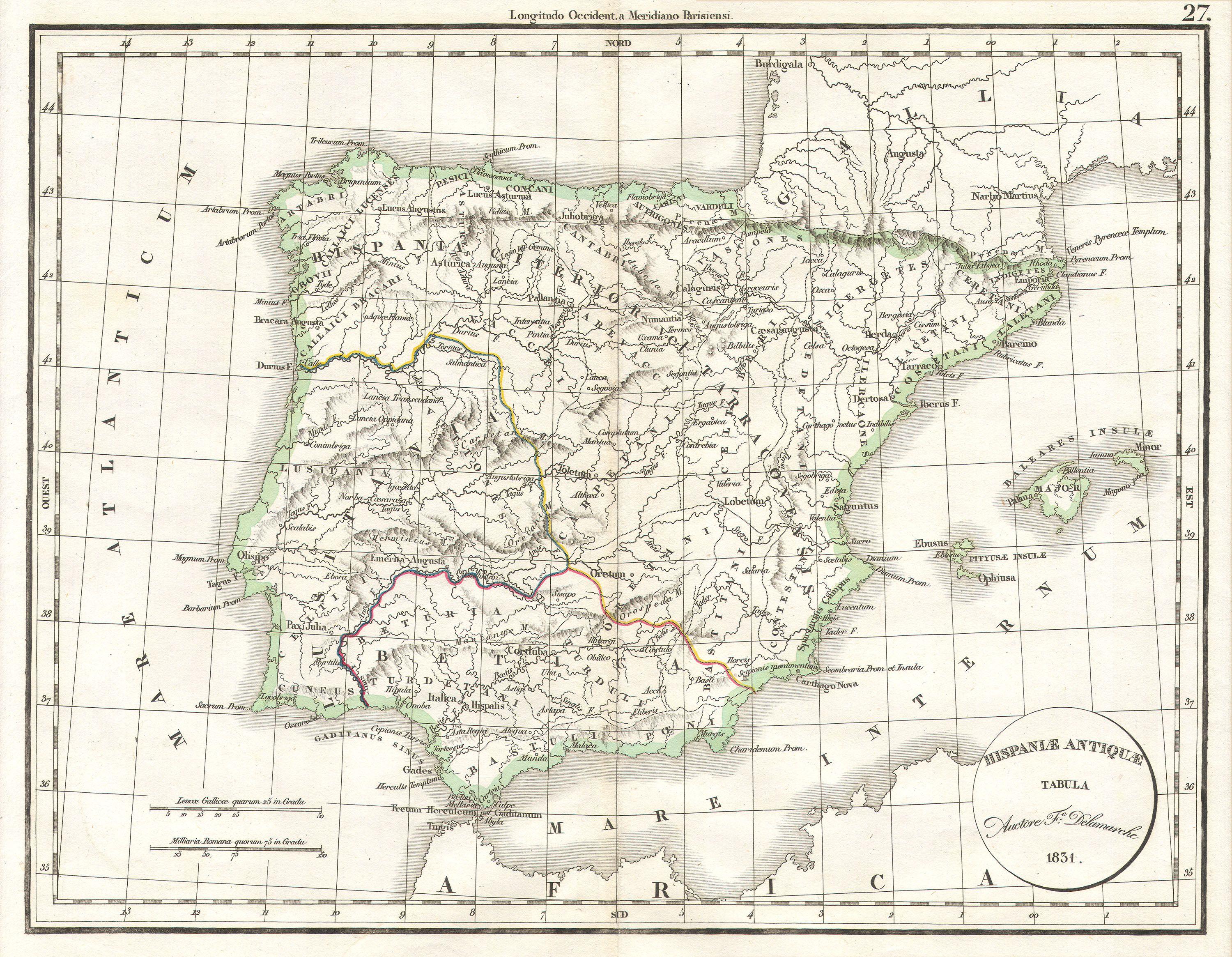
English: This hand colored map is a copper plate engraving, dating to 1832 by the well known French mapmaker Delamarche. It is a representation of Spain and Portugal under the Roman Empire. |
|||||
| Date | 1832 | |||||
| Dimensions | height: 12 in (30.4 cm); width: 15 in (38.1 cm) | |||||
| Accession number |
Geographicus link: Spain2-d-32 |
|||||
| Source/Photographer |
|
|||||
| Permission (Reusing this file) |
|
|||||
File history
Click on a date/time to view the file as it appeared at that time.
| Date/Time | Thumbnail | Dimensions | User | Comment | |
|---|---|---|---|---|---|
| current | 10:22, 16 March 2011 | | 3,000 × 2,330 (1.54 MB) | BotMultichill (talk | contribs) | {{subst:User:Multichill/Geographicus |link=http://www.geographicus.com/P/AntiqueMap/Spain2-d-32 |product_name=1832 Delamarche Map of Spain and Portugal under the Roman Empire |map_title=Delamarche's Map of Spain and Portugal under the Roman Empire. |descr |
You cannot overwrite this file.
File usage on Commons
The following page uses this file: