File:033 Carte de la partie ouest des Côtes-d'Armor datant de 1640.JPG
Jump to navigation
Jump to search

Size of this preview: 800 × 536 pixels. Other resolutions: 320 × 214 pixels | 640 × 429 pixels | 1,024 × 686 pixels | 1,280 × 858 pixels | 2,231 × 1,495 pixels.
Original file (2,231 × 1,495 pixels, file size: 905 KB, MIME type: image/jpeg)
Captions
Captions
Add a one-line explanation of what this file represents
Summary
[edit]
| Description |
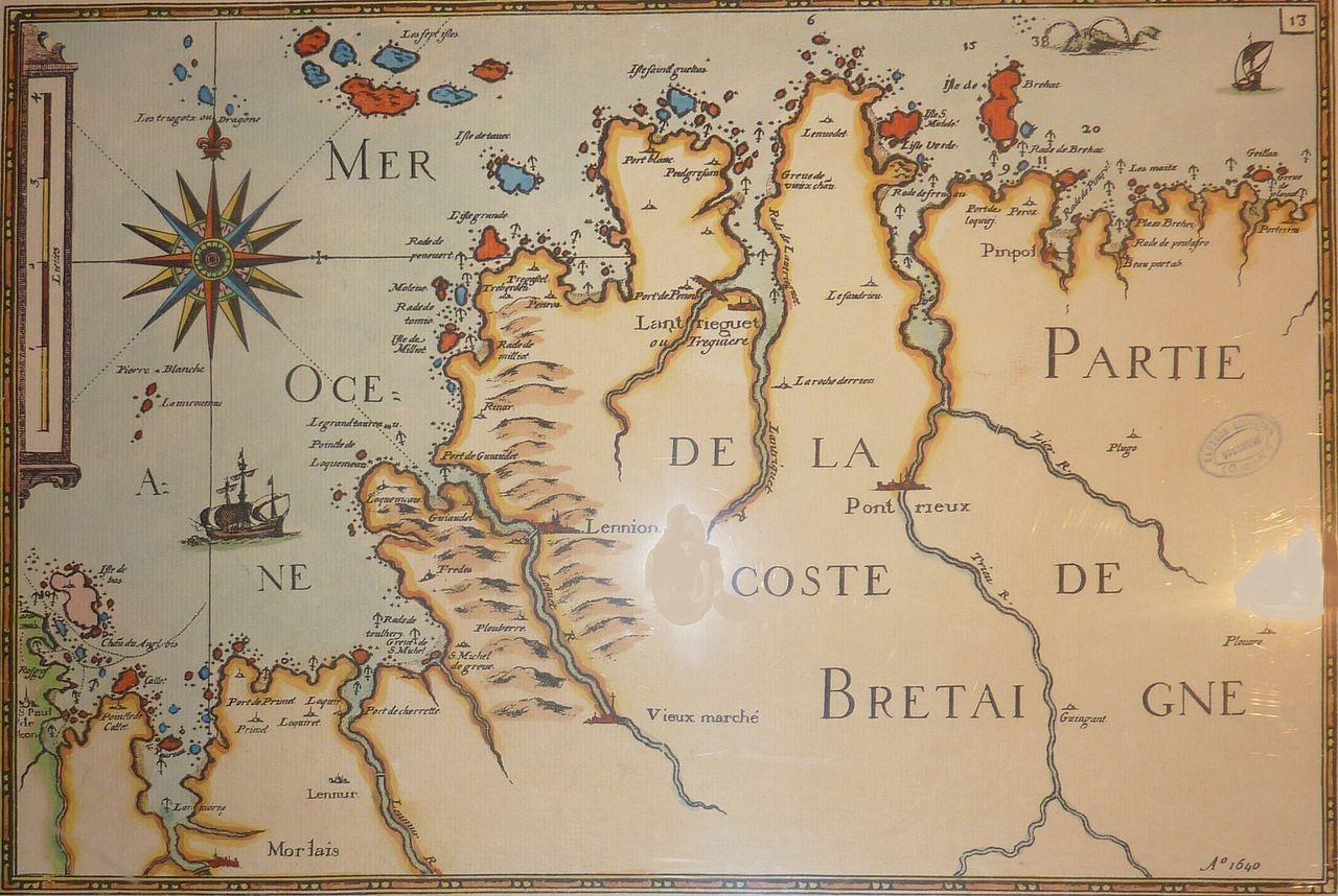
Français : Carte de la partie ouest des Côtes-d'Armor datant de 1640 |
| Date | |
| Source | Own work |
| Author | Moreau.henri |
Licensing
[edit]
|
This is a faithful photographic reproduction of a two-dimensional, public domain work of art. The work of art itself is in the public domain for the following reason:
The official position taken by the Wikimedia Foundation is that "faithful reproductions of two-dimensional public domain works of art are public domain".
This photographic reproduction is therefore also considered to be in the public domain in the United States. In other jurisdictions, re-use of this content may be restricted; see Reuse of PD-Art photographs for details. | ||||
File history
Click on a date/time to view the file as it appeared at that time.
| Date/Time | Thumbnail | Dimensions | User | Comment | |
|---|---|---|---|---|---|
| current | 04:39, 7 December 2012 | | 2,231 × 1,495 (905 KB) | Moreau.henri (talk | contribs) | User created page with UploadWizard |
You cannot overwrite this file.
File usage on Commons
File usage on other wikis
The following other wikis use this file: