File:(Lane Poole, map 85) European explorations and colonies from the fifteenth to the seventeeth century.jpg
Jump to navigation
Jump to search

Size of this preview: 798 × 600 pixels. Other resolutions: 320 × 240 pixels | 639 × 480 pixels | 1,022 × 768 pixels | 1,280 × 962 pixels | 2,560 × 1,923 pixels | 3,993 × 3,000 pixels.
Original file (3,993 × 3,000 pixels, file size: 2.41 MB, MIME type: image/jpeg)
Captions
Captions
Add a one-line explanation of what this file represents
Summary
[edit]_European_explorations_and_colonies_from_the_fifteenth_to_the_seventeeth_century.jpg&action=edit§ion=1)
| Description |
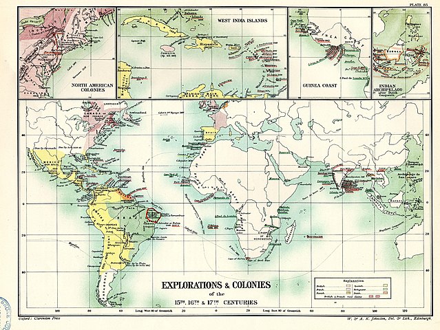
English: European explorations and colonies from the fifteenth to the seventeeth century. |
||||
| Date | Oxford, Clarendon press; 1896-1902. | ||||
| Source | Internet Archive: Historical Atlas of Modern Europe (Map 85). | ||||
| Author | Reginald Lane Poole (1857-1939) See: References. | ||||
| Permission (Reusing this file) |
|
||||
File history
Click on a date/time to view the file as it appeared at that time.
| Date/Time | Thumbnail | Dimensions | User | Comment | |
|---|---|---|---|---|---|
| current | 16:28, 4 June 2018 | | 3,993 × 3,000 (2.41 MB) | FDRMRZUSA (talk | contribs) | User created page with UploadWizard |
You cannot overwrite this file.
File usage on Commons
There are no pages that use this file.
_European_explorations_and_colonies_from_the_fifteenth_to_the_seventeeth_century.jpg&oldid=734015831)