File:Струмок Лазещина.webm
Jump to navigation
Jump to search
Size of this JPG preview of this WEBM file: 800 × 450 pixels. Other resolutions: 320 × 180 pixels | 640 × 360 pixels | 1,024 × 576 pixels | 1,280 × 720 pixels | 1,920 × 1,080 pixels.
Original file (WebM audio/video file, VP9/Opus, length 37 s, 1,920 × 1,080 pixels, 19.93 Mbps overall, file size: 88.97 MB)
Captions
Captions
Add a one-line explanation of what this file represents
Summary
[edit]| Description |
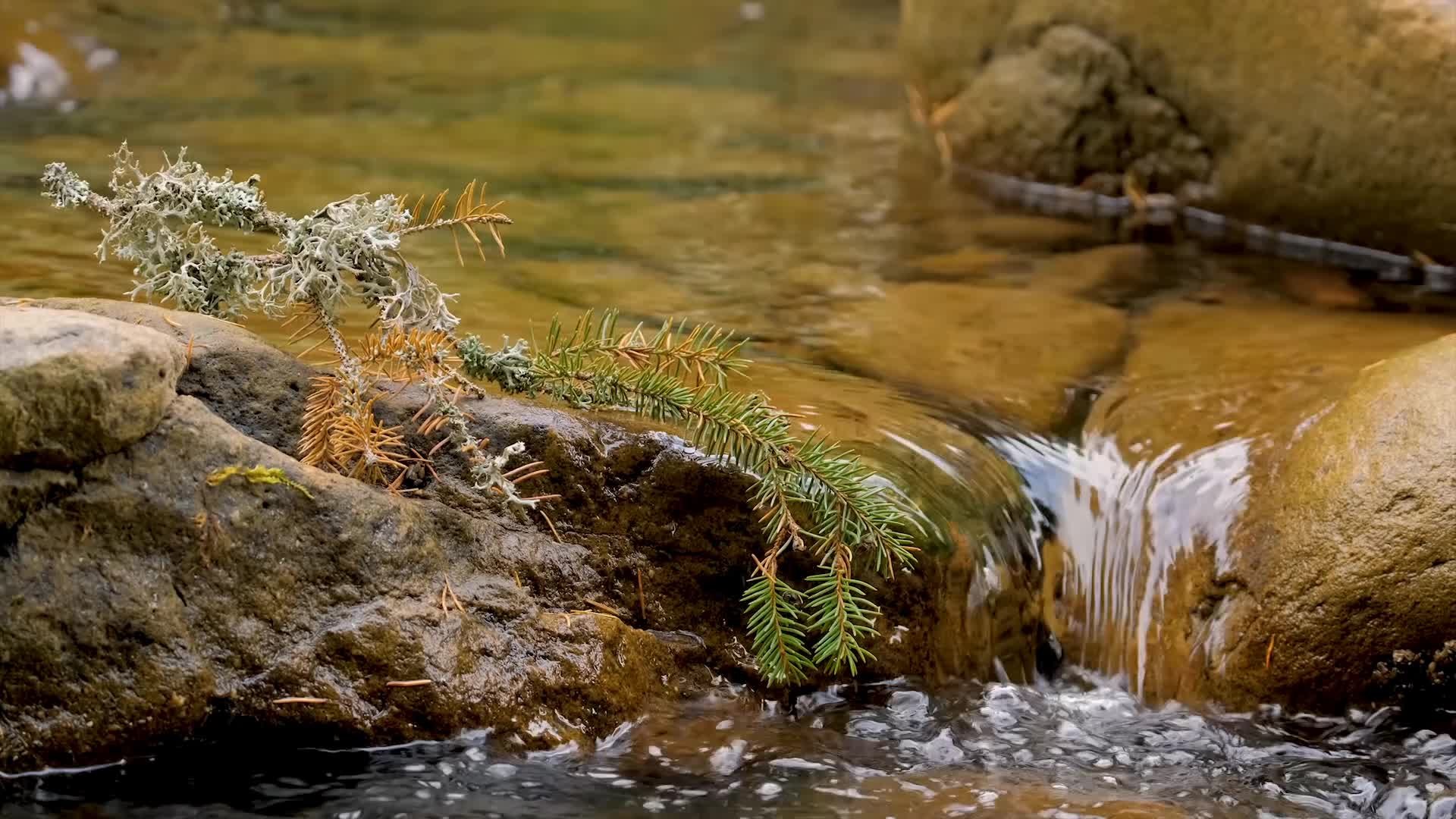
English: Carpathian Biosphere Reserve, Ukraine.
Українська: Карпатський біосферний заповідник, Рахівський, Тячівський, Хустський, Виноградівський райони, Україна.
العربية: مشهد مصور من محمية المحيط الحيوي الكاربات في أوكرانيا.
|
||
| Date | |||
| Source | Own work | ||
| Author | Сергій Ковальов | ||
| Other versions |
|

| Camera location | | View this and other nearby images on: OpenStreetMap |
|---|
Assessment
[edit]| This file was selected as the media of the day for 9 February 2021. It was captioned as follows:
English: Carpathian Biosphere Reserve, Ukraine
Other languages
العربية: مشهد مصور من محمية المحيط الحيوي الكاربات في أوكرانيا. English: Carpathian Biosphere Reserve, Ukraine
|
Licensing
[edit]I, the copyright holder of this work, hereby publish it under the following license:
This file is licensed under the Creative Commons Attribution-Share Alike 4.0 International license.
- You are free:
- to share – to copy, distribute and transmit the work
- to remix – to adapt the work
- Under the following conditions:
- attribution – You must give appropriate credit, provide a link to the license, and indicate if changes were made. You may do so in any reasonable manner, but not in any way that suggests the licensor endorses you or your use.
- share alike – If you remix, transform, or build upon the material, you must distribute your contributions under the same or compatible license as the original.
This image was uploaded as part of Wiki Loves Earth 2020.
|
 |
File history
Click on a date/time to view the file as it appeared at that time.
| Date/Time | Thumbnail | Dimensions | User | Comment | |
|---|---|---|---|---|---|
| current | 19:31, 15 July 2020 | 37 s, 1,920 × 1,080 (88.97 MB) | Сергій Ковальов (talk | contribs) | Uploaded own work with UploadWizard |
You cannot overwrite this file.
File usage on Commons
The following 14 pages use this file:
- User talk:Сергій Ковальов
- Commons:Wiki Loves Earth 2020 in Ukraine/Video
- Commons:Wiki Loves Earth 2020 in Ukraine/Сергій Ковальов
- File:Water flowing in creek looped.gif
- Template:Motd/2021-02
- Template:Motd/2021-02-09
- Template:Motd/2021-02-09 (ar)
- Template:Motd/2021-02-09 (cs)
- Template:Motd/2021-02-09 (en)
- Template:Motd/2021-02-09 (fr)
- Template:Motd/2021-02-09 (myv)
- Template:Motd/2021-02-09 (ru)
- Template:Motd/2021-02-09 (uk)
- Template:Potd/2021-02
Transcode status
Update transcode statusFile usage on other wikis
The following other wikis use this file:
- Usage on uk.wikipedia.org
- Usage on vep.wikipedia.org