Category:Tytherington, Wiltshire
Jump to navigation
Jump to search
hamlet in Wiltshire, UK  | |||||
| Upload media | |||||
| Instance of |
| ||||
|---|---|---|---|---|---|
| Location | Heytesbury, Wiltshire, South West England, England | ||||
 | |||||
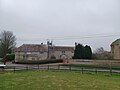
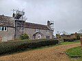
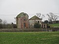
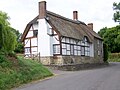
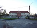
English: Tytherington is a small village and former civil parish in Wiltshire, in the south west of England. It is situated near the A36, near Warminster, and by the River Wylye. Most of it is now part of the civil parish of Heytesbury, Imber and Knook, but a few houses are within the parish of Sutton Veny. Marked only on large-scale maps, it lies to the west of Sutton Veny and to the south of Heytesbury.
Subcategories
This category has the following 3 subcategories, out of 3 total.
T
- The Knoll, Tytherington (6 F)
- Tytherington Down (5 F)
Media in category "Tytherington, Wiltshire"
The following 23 files are in this category, out of 23 total.
-
 175, Tytherington.jpg 4,000 × 3,000; 3.3 MB
-
 Ashbys, Tytherington - geograph.org.uk - 332579.jpg 640 × 480; 80 KB
-
 Ashbys, Tytherington 01.jpg 4,000 × 3,000; 4.12 MB
-
 Ashbys, Tytherington 02.jpg 4,000 × 3,000; 3.72 MB
-
 Ashbys, Tytherington 03.jpg 4,000 × 3,000; 4.57 MB
-
 Dovecote, granary and stables at Ashbys, Tytherington 01.jpg 5,152 × 3,864; 5.66 MB
-
 Dovecote, granary and stables at Ashbys, Tytherington 02.jpg 5,152 × 3,864; 5.15 MB
-
 Leaving Tytherington - geograph.org.uk - 330625.jpg 640 × 480; 40 KB
-
 Medieval settlement near Tytherington - geograph.org.uk - 494872.jpg 640 × 480; 84 KB
-
 Milestone Cottage, Tytherington - geograph.org.uk - 1376015.jpg 640 × 480; 124 KB
-
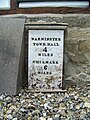 Milestone, Tytherington - geograph.org.uk - 1375991.jpg 480 × 640; 183 KB
-
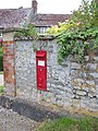 Postbox, Tytherington - geograph.org.uk - 1375881.jpg 480 × 640; 189 KB
-
 Tytherington - geograph.org.uk - 1180221.jpg 640 × 480; 97 KB
-
 Tytherington Dovecot - geograph.org.uk - 1180214.jpg 640 × 480; 85 KB
-
 Bales in the mist, Tytherington - geograph.org.uk - 539079.jpg 640 × 480; 91 KB
-
 By-Way to Tytherington - geograph.org.uk - 404099.jpg 640 × 480; 71 KB
-
 By-way to Tytherington Hill - geograph.org.uk - 330622.jpg 640 × 480; 53 KB
-
 Byway to Tytherington - geograph.org.uk - 423904.jpg 640 × 480; 146 KB
-
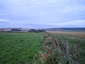
 Farmland, Tytherington - geograph.org.uk - 539162.jpg 640 × 480; 76 KB
-
 Fields near Tytherington Hill - geograph.org.uk - 569555.jpg 640 × 480; 86 KB
-
 Footpath between Tytherington and Corton - geograph.org.uk - 605390.jpg 640 × 480; 127 KB
-
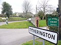
 St James Court, Tytherington - geograph.org.uk - 332555.jpg 640 × 480; 75 KB
-
 Wiltshire Farmland - geograph.org.uk - 330141.jpg 640 × 480; 91 KB


