Category:Tschernitz
Appearance
municipality of Germany | |||||
| Upload media | |||||
| Instance of |
| ||||
|---|---|---|---|---|---|
| Location | Spree-Neiße District, Brandenburg, Germany | ||||
| Has part(s) | |||||
| Population |
| ||||
| Area |
| ||||
| Elevation above sea level |
| ||||
| official website | |||||
 | |||||
Subcategories
This category has only the following subcategory.
Media in category "Tschernitz"
The following 15 files are in this category, out of 15 total.
-
Bevölkerungsentwicklung Tschernitz.pdf 1,752 × 1,239; 120 KB
-
GMB Glasmanufaktur Brandenburg GmbH - panoramio.jpg 3,072 × 2,304; 1.92 MB
-
GMB-Glas.jpg 1,440 × 907; 277 KB
-
Inselteich - panoramio.jpg 3,072 × 2,304; 3.3 MB
-
Lindenteich - panoramio.jpg 3,072 × 2,304; 2.62 MB
-
Schulfreund - panoramio.jpg 3,072 × 2,304; 3.06 MB
-
Tagebruch-Felixsee.jpg 1,440 × 999; 302 KB
-
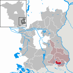
Tschernitz in SPN.png 299 × 299; 8 KB
-
Tschernitz Kilometerstein B 115.jpg 1,824 × 1,368; 1.39 MB
-
Tschernitz, der Gasthof "Zum Glasmacher".jpg 2,551 × 1,701; 861 KB
-
Tschernitz, der Lohnteich.jpg 2,551 × 1,701; 1.2 MB
-
Tschernitz, der Schlossteich.jpg 2,551 × 1,701; 1.65 MB
-
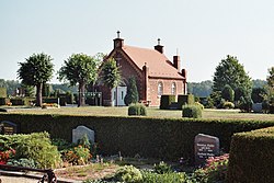
Tschernitz, Friedhof und Friedhofskapelle.jpg 2,551 × 1,701; 1,017 KB
-
Tschernitz, Landschaft.jpg 2,497 × 1,650; 1.37 MB
-
Wappen Tschernitz.png 471 × 523; 195 KB


