Category:Travel maps of Baltimore
Jump to navigation
Jump to search
Media in category "Travel maps of Baltimore"
The following 30 files are in this category, out of 30 total.
-
 Baltimore districts map by street.png 2,648 × 3,000; 7.8 MB
-
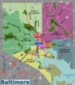 Baltimore districts map.png 2,648 × 3,000; 1.78 MB
-
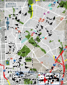
 Baltimore Midtown map.png 1,500 × 1,259; 987 KB
-
 Baltimore Midtown map.svg 784 × 663; 1.78 MB
-
 Baltimore neighborhoods map.svg 744 × 1,052; 3.54 MB
-
 Baltimore printable tourist attractions map.jpg 2,105 × 1,488; 1.38 MB
-
 Central Wire Tour map.png 3,007 × 1,617; 857 KB
-
 Downtown Baltimore map.png 2,520 × 1,438; 1.2 MB
-
 Downtown Baltimore map.svg 1,739 × 1,461; 1.37 MB
-
 East Baltimore map.png 1,709 × 3,008; 2.78 MB
-
 East Baltimore map.svg 1,116 × 1,419; 1.75 MB
-
 East Wire Tour map.png 2,227 × 3,008; 779 KB
-
 Far East Wire Tour map.png 3,008 × 2,470; 925 KB
-
 Federal Hill-Locust Point map.png 3,008 × 1,709; 1.82 MB
-
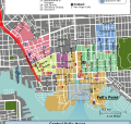
 Fells Point map.png 1,709 × 3,008; 1.55 MB
-
 Fells Point map.svg 1,634 × 1,540; 1.75 MB
-
 Inner Harbor map.png 3,008 × 1,709; 1.65 MB
-
 Inner Harbor map.svg 2,174 × 1,913; 1.77 MB
-
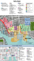
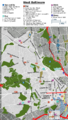
 Midtown Baltimore map.png 1,709 × 3,008; 1.54 MB
-
 Midtown placeholder map.png 1,600 × 1,558; 983 KB
-
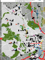
 North Central Wire Tour map.png 2,750 × 3,008; 952 KB
-
 South Baltimore map.png 3,008 × 1,709; 2.99 MB
-
 South Baltimore map.svg 2,043 × 1,531; 3.01 MB
-
 South Wire Tour map.png 3,008 × 2,233; 1.2 MB
-
 Southeast Wire Tour map.png 3,008 × 3,001; 1.53 MB
-
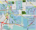 The Wire Tour map overview.png 3,009 × 2,540; 3.09 MB
-
 The Wire Tour map.svg 1,566 × 1,314; 1.49 MB
-
 West Baltimore map.png 1,709 × 3,008; 2.61 MB
-
 West Baltimore map.svg 1,428 × 1,923; 1.66 MB
-
 West Wire Tour map.png 2,811 × 3,008; 1.38 MB


