Category:Transport maps of Doubs
Jump to navigation
Jump to search
Subcategories
This category has the following 2 subcategories, out of 2 total.
- Transport maps of Besançon (3 F)
R
- Rail transport maps of Doubs (6 F)
Media in category "Transport maps of Doubs"
The following 2 files are in this category, out of 2 total.
-
 25-RéseauRN.png 3,507 × 2,480; 1.19 MB
-
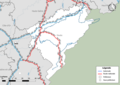
 Transport map of France - 25.svg 815 × 921; 6.05 MB
