Category:Topographic maps of Mauritius
Jump to navigation
Jump to search
Subcategories
This category has only the following subcategory.
S
Media in category "Topographic maps of Mauritius"
The following 13 files are in this category, out of 13 total.
-
Carte de Maurice-LMB.jpg 260 × 258; 19 KB
-
Carte de Maurice.jpg 1,000 × 1,206; 230 KB
-
Map tortue.jpg 463 × 293; 25 KB
-
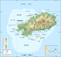
Rodrigues Island topographic map-fr.png 1,700 × 1,600; 874 KB
-
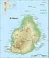
Mauritius Island topographic map-fr.jpg 1,810 × 2,160; 942 KB
-
Rodrigues Island topographic map-de.png 1,700 × 1,600; 780 KB
-
Mauritius map.jpg 471 × 438; 66 KB
-
Mauritius rel90.jpg 1,000 × 1,206; 236 KB
-
Mauritius relief location map.jpg 1,400 × 1,908; 845 KB
-
Mauritiushoogtekaart02.jpg 380 × 482; 49 KB
-
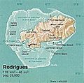
Rodrigues 76.jpg 409 × 405; 151 KB
-
Rodrigues Strassenkarte de.png 1,700 × 1,600; 836 KB
-
Rodrigues Zonenkarte de.png 1,284 × 1,209; 559 KB


