Category:Topographic maps of Chazelles (Haute-Loire)
Jump to navigation
Jump to search
Media in category "Topographic maps of Chazelles (Haute-Loire)"
The following 2 files are in this category, out of 2 total.
-
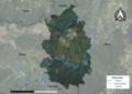 43068-Chazelles-Orthophoto.png 7,015 × 4,960; 43.83 MB
-
 43068-Chazelles-Relief-PlanIGN.png 7,015 × 4,960; 17.52 MB

