Category:Topographic maps of Barbados
Jump to navigation
Jump to search
Subcategories
This category has only the following subcategory.
S
Media in category "Topographic maps of Barbados"
The following 6 files are in this category, out of 6 total.
-
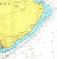
 British Admiralty Chart of Cobblers Reef.jpg 2,180 × 2,260; 4.84 MB
-
 Crchart.jpg 774 × 798; 172 KB
-
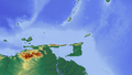 Karibik 19.png 1,353 × 767; 650 KB
-
 Karibik 20.png 1,355 × 765; 321 KB
-
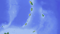
 Karibik 23.png 1,351 × 813; 320 KB
-
 Karibik 24.png 1,344 × 810; 440 KB


