Category:Streets in Friedrichsort
Jump to navigation
Jump to search
Subcategories
This category has the following 21 subcategories, out of 21 total.
A
B
- Brauner Berg (Kiel) (14 F)
- Brüttweg (Kiel) (2 F)
C
D
- Dieselweg (Kiel) (4 F)
F
G
- Gorch-Fock-Straße (Kiel) (7 F)
H
- Heinrich-Rixen-Platz (Kiel) (2 F)
J
L
- Leuchtturmplatz (Kiel) (6 F)
M
O
- Oldestraße (Kiel) (6 F)
P
- Palisadenweg (Kiel) (9 F)
- Poststraße (Kiel) (6 F)
- Prieser Höhe (Kiel) (3 F)
S
T
- Timm-Kröger-Straße (Kiel) (4 F)
W
- Waldemar-Bonsels-Straße (3 F)
Z
- Zum Dänischen Wohld (Kiel) (7 F)
Media in category "Streets in Friedrichsort"
The following 6 files are in this category, out of 6 total.
-
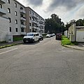 Feddersenweg, Kiel-Friedrichsort.jpg 2,992 × 2,992; 4.31 MB
-
 Harald-Lindenau-Weg, Kiel-Friedrichsort.jpg 2,992 × 2,992; 5.15 MB
-
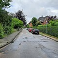 Koloniestraße, Kiel-Friedrichsort.jpg 2,992 × 2,992; 3.77 MB
-
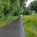
 Speckterweg, Kiel-Friedrichsort.jpg 2,992 × 2,992; 3.28 MB
-
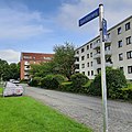
 Stettiner Platz, Kiel-Friedrichsort.jpg 2,992 × 2,992; 4.35 MB
-
 Straßenschild Harald-Lindenau-Weg mit Erklärung.jpg 3,648 × 2,736; 2.77 MB


