Category:Site plans of the Netherlands
Jump to navigation
Jump to search
Deutsch: Lagepläne in die Niederlanden
Subcategories
This category has only the following subcategory.
U
Media in category "Site plans of the Netherlands"
The following 19 files are in this category, out of 19 total.
-
 1975 Dorpstraat op Bestemmingsplan Nieuw-Vennep, 1975-1980.jpg 3,122 × 2,575; 2.54 MB
-
 2018 Maastricht, Infocentrum Belvédère, maquette 2.jpg 2,850 × 1,670; 1.4 MB
-

-
 Fortifikationskarta, plan över fästning - Skoklosters slott - 98078.tif 4,705 × 3,080; 41.47 MB
-
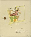
 Het Binnenhof ca 1700.jpg 1,991 × 1,359; 655 KB
-
-
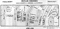 Kaart doorbraak Raadhuisstraat.jpg 948 × 469; 220 KB
-
 Kalff-niftrik.jpg 640 × 614; 91 KB
-

-
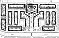
 Plan Zuid (Berlage).jpg 3,488 × 1,969; 2.19 MB
-
 Pltakbrt.jpg 740 × 488; 229 KB
-
 Tsubo-en-karesansui-zen-garden-Lelystad-Netherlands-GroundPlan.jpg 738 × 634; 185 KB
-
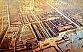
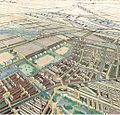
 Vogelvlucht Plan Zuid en Buitenveldert.jpg 800 × 497; 249 KB
-
 Vogelvlucht Plan Zuid vanaf de Amstel.jpg 740 × 470; 123 KB
-
 Vogelvlucht Westelijke Tuinsteden vanaf het Vondelpark.jpg 1,031 × 989; 631 KB
-
 Vogelvlucht Zuiderstation en Plan Zuid.jpg 560 × 355; 134 KB
-
 Vollenhove Kaart Frederik de Wit.jpg 1,024 × 767; 133 KB
-
 Weissman.jpg 999 × 1,481; 180 KB
-
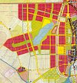 Westelijke Tuinsteden als onderdeel van het AUP.jpg 500 × 534; 126 KB


.jpg)


.jpg)


