Category:Satellite pictures of schools in the United States
Jump to navigation
Jump to search
Countries of the Americas: United States of America
Media in category "Satellite pictures of schools in the United States"
The following 15 files are in this category, out of 15 total.
-
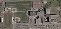
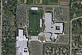
 Adlai E. Stevenson High School (USGS).jpg 908 × 2,087; 1.15 MB
-
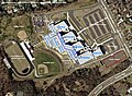
 Buffalo Grove High School (USGS).png 1,680 × 1,050; 2.81 MB
-
 DGS from USGS contrasted.jpg 422 × 204; 119 KB
-
 DGS from USGS darkened.jpg 422 × 204; 111 KB
-
 DGS from USGS original.jpg 422 × 204; 109 KB
-
 Frost Aerial.jpg 600 × 400; 43 KB
-
 Homewood-Flossmoor High School USGS overview.svg 1,600 × 1,827; 831 KB
-
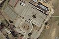
 Lebanon HS - USGS.jpg 1,150 × 950; 136 KB
-
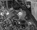
 Maple-Yackley map.JPG 448 × 327; 53 KB
-
 Northwest High School (Montgomery County, Maryland) aerial.jpg 681 × 566; 462 KB
-
 Northwestern HS 1951-2000 Campus.JPG 1,200 × 800; 213 KB
-
 Stevenson Aerial.jpg 600 × 400; 53 KB
-
 USGS Northwestern High School Aerial.jpg 1,146 × 845; 1.04 MB
-
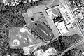
 WCHS Aerial.jpg 328 × 372; 34 KB
-
 Wootton Aerial.jpg 600 × 400; 57 KB
.jpg)
.png)


_aerial.jpg)


