Category:Satellite pictures of Hurricane Floyd
Jump to navigation
Jump to search
Subcategories
This category has only the following subcategory.
R
Media in category "Satellite pictures of Hurricane Floyd"
The following 19 files are in this category, out of 19 total.
-
Andrew-Floyd.jpg 800 × 386; 214 KB
-
Coast watch (1979) (20038422454).jpg 2,925 × 3,762; 1.88 MB
-
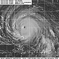
Floyd 1999-09-12 1122Z.jpg 800 × 800; 245 KB
-
Floyd 1999-09-13 1215Z.png 1,600 × 1,860; 3.8 MB
-
Floyd 1999-09-13 1415Z.png 1,881 × 2,302; 7.64 MB
-
Floyd 1999-09-14 1244Z.jpg 2,400 × 2,400; 1.5 MB
-
Floyd 1999-09-14 2030Z (borderless).jpg 1,880 × 1,880; 725 KB
-
Floyd 1999-09-14 2030Z.jpg 1,000 × 750; 382 KB
-
Floyd 1999-09-15 1940Z.png 1,800 × 1,800; 4.25 MB
-
Floyd 99 Edited.PNG 781 × 650; 1.03 MB
-
Floyd and Gert 1999-09-13 1415Z.png 4,875 × 2,972; 25.02 MB
-
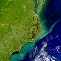
Floyd runoff.png 500 × 500; 531 KB
-
Floyd Sept 14 1999.png 1,355 × 1,586; 3.66 MB
-
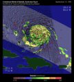
Floyd trmm quickscat.gif 540 × 600; 55 KB
-
Hurricane Floyd (1999).jpg 720 × 540; 255 KB
-
Hurricane Floyd 1999-09-14.jpg 1,330 × 1,196; 267 KB
-
Hurricane Floyd.png 1,920 × 1,080; 2.22 MB
-
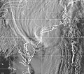
Tropical Storm Floyd New York Landfall.jpg 1,024 × 902; 351 KB
-
Ts-floyd-19990916-2345utc.gif 640 × 468; 120 KB


