Category:SVG maps of the history of Algeria
Jump to navigation
Jump to search
Media in category "SVG maps of the history of Algeria"
The following 15 files are in this category, out of 15 total.
-
 Alger department 1934-1955 map-fr.svg 1,287 × 1,278; 1.79 MB
-
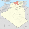
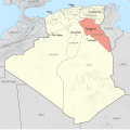
 Constantine department 1934-1955 map-fr.svg 1,287 × 1,278; 1.79 MB
-
 Départements français d'Algérie 1934-1955 map-fr.svg 1,287 × 1,278; 1.79 MB
-
 French Algeria 1934-1955 administrative map-es.svg 1,287 × 1,278; 1.53 MB
-
 French Algeria 1934-1955 administrative map-fr.svg 1,287 × 1,278; 1.73 MB
-
 French Algeria evolution 1830-1962 map-es.svg 1,373 × 1,363; 1.71 MB
-
 French Algeria evolution 1830-1962 map-fr.svg 1,287 × 1,278; 1.86 MB
-
 Map of ibn Abi Mahalli State - Arabic.svg 746 × 580; 306 KB
-
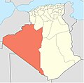
 Oasis territory 1934-1955 map-fr.svg 1,287 × 1,278; 1.79 MB
-
 Oqba Ibn Naafi en Afrique du nord ARABE.svg 1,160 × 658; 94 KB
-
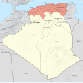
 Oran department 1934-1955 map-fr.svg 1,287 × 1,278; 1.79 MB
-
 Palestro ambush map-fr.svg 248 × 294; 418 KB
-
 Région de la Saoura.JPG 510 × 501; 22 KB
-
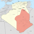
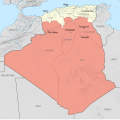 Territoires du Sud 1934-1955 map-fr.svg 1,287 × 1,278; 1.79 MB
-
 Touggourt territory 1934-1955 map-fr.svg 1,287 × 1,278; 1.79 MB


